
 | ||
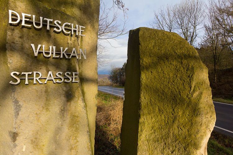
The German Volcano Route or, less commonly, German Volcano Road (German: Deutsche Vulkanstraße) is a 280-kilometre-long tourist route from the River Rhine to the mountains of the High Eifel. It links 39 sites within the Geopark Vulkanland Eifel in the Volcanic Eifel (Vulkaneifel), at which geological, cultural-historical and industrial-historical nature and cultural monuments on the subject of volcanicity in the Eifel are located.
The project was carried out in 2008 in cooperation between the counties of Ahrweiler, Bernkastel-Wittlich, Cochem-Zell, Mayen-Koblenz and Vulkaneifel. The choice of the 39 stations was made by the German Vulcanology Society (Deutsche Vulkanologische Gesellschaft, DVG).
Literature
References
German Volcano Route Wikipedia(Text) CC BY-SA