
Length 157.9 km | ||
 | ||
South end: US 1 / SR 4 / SR 15 in South Thompson | ||
State Route 29 (SR 29) is a 98.1-mile-long (157.9 km) state highway that travels southeast-to-northwest through portions of Toombs, Montgomery, Treutlen, Laurens, Wilkinson, and Baldwin counties in the central part of the U.S. state of Georgia. The highway connects the Vidalia area with Milledgeville, via Dublin.
Contents
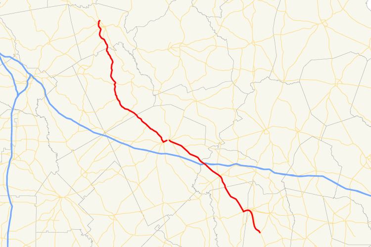
Map of GA-29, Georgia, USA
Route description
SR 29 begins at an intersection with US 1/SR 4 in the unincorporated community of South Thompson, which is about 8 miles (13 km) south-southeast of the central part of Vidalia in Toombs County. At its southern terminus, it is concurrent with SR 15, which is concurrent with US 1/SR 4 south of this point. SR 15/SR 29 head northwest and curve to the north-northwest and enter Vidalia. In town, they curve to the northeast and intersect US 280/SR 30. The four highways travel concurrent to the northwest, intersect SR 130, and then curve to the west-southwest. Then, they enter Montgomery County right before leaving town. They travel north of Rocky Creek Golf Club and enter Higgston, where they meet the northern terminus of SR 135. At this intersection, SR 15/SR 29 depart the concurrency to the north-northwest. They meet the western terminus of SR 292 before leaving town. They travel through Tarrytown before entering Treutlen County. In Soperton, they intersect US 221/SR 56 (2nd Street). At this intersection, SR 15 turns to the right, onto US 221/SR 56 north. Two blocks later, they intersect SR 46. After that, SR 29 continues to the northwest and leaves town. It travels through rural areas of town and has an interchange with Interstate 16 (I-16) southeast of Rockledge. Just over 2,000 feet (610 m) later, it crosses over the Mercer Elias Branch into Laurens County. The highway travels through Rockledge and meets the western terminus of SR 86. Then, it enters East Dublin, where it first meets the northern terminus of SR 199 (Coleman Avenue). In the main part of town, it intersects US 80/SR 26 (Savannah Avenue). The three highways begin a concurrency to the northwest. Approximately 500 feet (150 m) later, US 319/SR 31 (Wrightsville Avenue) join the concurrency. They head west-northwest and then curve to the southwest. They cross over the Oconee River on the Herschel Lovett Bridge into Dublin. At Jefferson Street, the concurrency intersects US 441. Here, SR 29 departs the concurrency to the north-northwest, concurrent with US 441. The two highways head to the northwest and meet the northern terminus of US 441 Byp./SR 117. Then, they meet the northern terminus of SR 338 before entering Wilkinson County. In Nicklesville, they intersect SR 112. The two highways begin to curve to the north-northwest and meet the eastern terminus of SR 96. After that, they travel to the west of Bearcamp Lake and enter Irwinton. There, they intersect SR 57 (Main Street). Then, they travel through McIntyre. They have an interchange with a segment of the future Fall Line Freeway before entering Baldwin County. Just before entering Hardwick is an intersection with SR 243. This intersection also marks the southern terminus of US 441 Bus. US 441/SR 29 act as a bypass of the main part of Milledgeville. At an intersection with SR 49 (West Hancock Street), they enter the city limits of Milledgeville and travel through the western part of the city. Then, they intersect SR 22 (Glynn Street). Next to Hatcher Square Mall they intersect US 441 Bus./SR 24 (North Columbia Street). This intersection marks the northern terminus of both US 441 Bus. and SR 29.
The following segments of SR 29 are included as part of the National Highway System, a system of roadways important to the nation's economy, defense, and mobility: