
Length 48.8 km | ||
 | ||
South end: US 1 / SR 4 north of Oak Park | ||
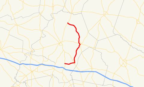
State Route 192 (SR 192) is a 30.3-mile-long (48.8 km) state highway that runs south-to-north in an eastern arc around Swainsboro through portions of Emanuel County in the east-central part of the U.S. state of Georgia.
Contents
Map of GA-192, Twin City, GA 30471, USA
Route description
SR 192 begins at an intersection with US 1/SR 4 just north of Oak Park. It heads east into Stillmore, where it intersects SR 57 (2nd Street). The route continues east for about two blocks. Then, it turns north and curves to the northeast until it enters Twin City. There, it meets SR 23, and then US 80/SR 26. SR 192 continues to the north and curves to the northwest until it meets its southern terminus at SR 56 (Covena Road) in Summertown.
Major intersections
The entire route is in Emanuel County.
References
Georgia State Route 192 Wikipedia(Text) CC BY-SA