
 | ||
The FAO geopolitical ontology is an Ontology developed by the Food and Agriculture Organization of the United Nations (FAO) to describe, manage and exchange data related to geopolitical entities such as countries, territories, regions and other similar areas.
Contents
Definitions and examples
An ontology is a kind of dictionary that describes information in a certain domain using concepts and relationships. It is often implemented using OWL (Web Ontology Language), an XML-based standard language that can be interpreted by computers.
The advantage of describing information in an ontology is that it enables to acquire domain knowledge by defining hierarchical structures of classes, adding individuals, setting object properties and datatype properties, and assigning restrictions.
FAO ontology
The geopolitical ontology provides names in seven languages (Arabic, Chinese, French, English, Spanish, Russian and Italian) and identifiers in various international coding systems (ISO2, ISO3, AGROVOC, FAOSTAT, FAOTERM, GAUL, UN, UNDP and DBPediaID codes) for territories and groups. Moreover, the FAO geopolitical ontology tracks historical changes from 1985 up until today; provides geolocation (geographical coordinates); implements relationships among countries and countries, or countries and groups, including properties such as has border with, is predecessor of, is successor of, is administered by, has members, and is in group; and disseminates country statistics including country area, land area, agricultural area, GDP or population.
The FAO geopolitical ontology provides a structured description of data sources. This includes: source name, source identifier, source creator and source's update date. Concepts are described using the Dublin Core vocabulary (http://purl.org/dc/elements/1.1/description).
In summary, the main objectives of the FAO geopolitical ontology are:
It is possible to download the FAO geopolitical ontology in OWL and RDF formats. Documentation is available in the FAO Country Profiles Geopolitical information web page.
Features of the FAO ontology
The geopolitical ontology contains :
Implementation into OWL
The FAO geopolitical ontology is implemented in OWL. It consists of classes, properties, individuals and restrictions. Table 1 shows all classes, gives a brief description and lists some individuals that belong to each class. Note that the current version of the geopolitical ontology does not provide individuals of the class "disputed" territories. Table 2 and Table 3 illustrate datatype properties and object properties.
Geopolitical ontology in Linked Open Data
The FAO Geopolitical ontology is embracing the W3C Linked Open Data (LOD) initiative and released its RDF version of the geopolitical ontology in March 2011. The term 'Linked Open Data' refers to a set of best practices for publishing and connecting structured data on the Web. The key technologies that support Linked Data are URIs, HTTP and RDF.
The RDF version of the geopolitical ontology is compliant with all Linked data principles to be included in the Linked Open Data cloud, as explained in the following.
Resolvable http:// URIs
Every resource in the OWL format of the FAO Geopolitical Ontology has a unique URI. Dereferenciation was implemented to allow for three different URIs to be assigned to each resource as follows:
In addition the current URIs used for OWL format needed to be kept to allow for backwards compatibility for other systems that are using them. Therefore, the new URIs for the FAO Geopolitical Ontology in LOD were carefully created, using “Cool URIs for Semantic Web” and considering other good practices for URIs, such as DBpedia URIs.
New URIs
The URIs of the geopolitical ontology need to be permanent, consequently all transient information, such as year, version, or format was avoided in the definition of the URIs. The new URIs can be accessed at http://www.fao.org/countryprofiles/geoinfo/geopolitical/resource/ For example, for the resource “Italy” the URIs are the following:
In addition, “owl:sameAs” is used to map the new URIs to the OWL representation.
Dereferencing URIs
When a non-information resource is looked up without any specific representation format, then the server needs to redirect the request to information resource with an HTML representation. For example, to retrieve the resource “Italy” (http://www.fao.org/countryprofiles/geoinfo/geopolitical/resource/Italy), which is a non-information resource, the server redirects to the html page of “Italy” (http://www.fao.org/countryprofiles/geoinfo/geopolitical/page/Italy).
At least 1000 triples in the datasets
The total number of triple statements in FAO Geopolitical Ontology is 22,495. At least 50 links to a dataset already in the current LOD Cloud: FAO Geopolitical Ontology has 195 links to DBpedia, which is already part of the LOD Cloud.
Access to the entire dataset
FAO Geopolitical Ontology provides the entire dataset as a RDF dump. It is available at http://www.fao.org/countryprofiles/geoinfo/geopolitical/data
The RDF version of the FAO Geopolitical Ontology has been already registered in CKAN (http://ckan.net/package/fao-geopolitical-ontology) and it was requested to add it into the LOD Cloud.
Example of use
The FAO Country Profiles is an information retrieval tool which groups the FAO's vast archive of information on its global activities in agriculture and rural development in one single area and catalogues it exclusively by country.
The FAO Country Profiles system provides access to country-based heterogeneous data sources. By using the geopolitical ontology in the system, the following benefits are expected:
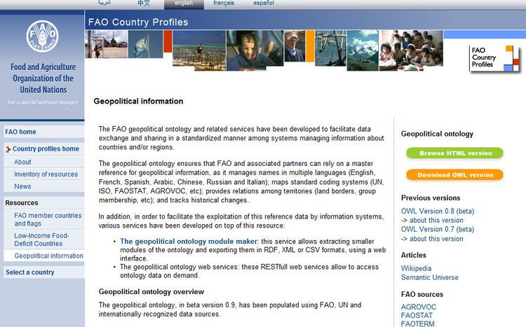
Figure 3 shows a page in the FAO Country Profiles where the geopolitical ontology is described.