
 | ||
Niue is a small island in the South Pacific Ocean, to the east of Tonga. It has an area of 260 square kilometres, and a coastline of 64 km. It claims an exclusive economic zone of 200 nm, and a territorial sea of 12 nm. It is one of world's largest coral islands.
Contents
Climate
Niue's climate is tropical, modified by south-east trade winds. Cyclones pose a natural hazard.
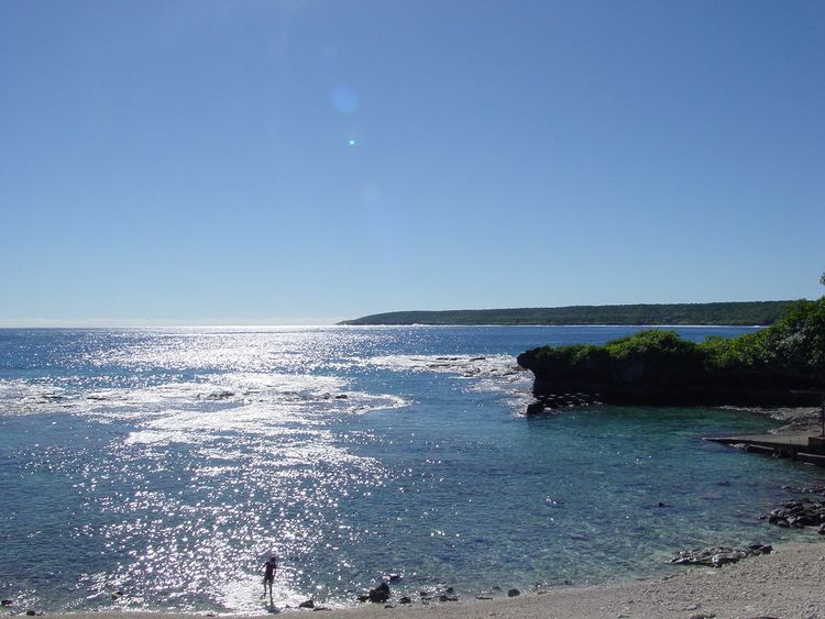
Terrain
The terrain consists of steep coastal cliffs made from limestone and a central plateau. The lowest point is at sea level, and the highest is an unnamed point near Mutalau settlement, at 68 m.
Environmental issues
A current environmental issue is increasing attention to conservationist practices to counter loss of soil fertility from traditional slash-and-burn agriculture. Niue is a party to the following international agreements regarding the environment: Biodiversity, Climate Change, Climate Change-Kyoto Protocol, Desertification. Niue has signed but not ratified the Law of the Sea agreement.
Boundaries
Niue has signed a treaty with the United States in which the parties delimited the east–west maritime boundary between Niue and American Samoa. Niue is south of American Samoa.
Extreme points
This is a list of the extreme points of Niue, the points that are farther north, south, east or west than any other location.