
Names OrbView-5 COSPAR ID 2008-042A Launch date 6 September 2008 Power 3.862 kW | SATCAT no. 33331 Period 1.6 hours | |
 | ||
Mission duration Planned: 7 yearsElapsed: 8 years, 6 months, 3 days Launch site Vandenberg AFB Space Launch Complex 2 Similar WorldView‑2, WorldView‑1, Ikonos, QuickBird, WorldView‑3 | ||
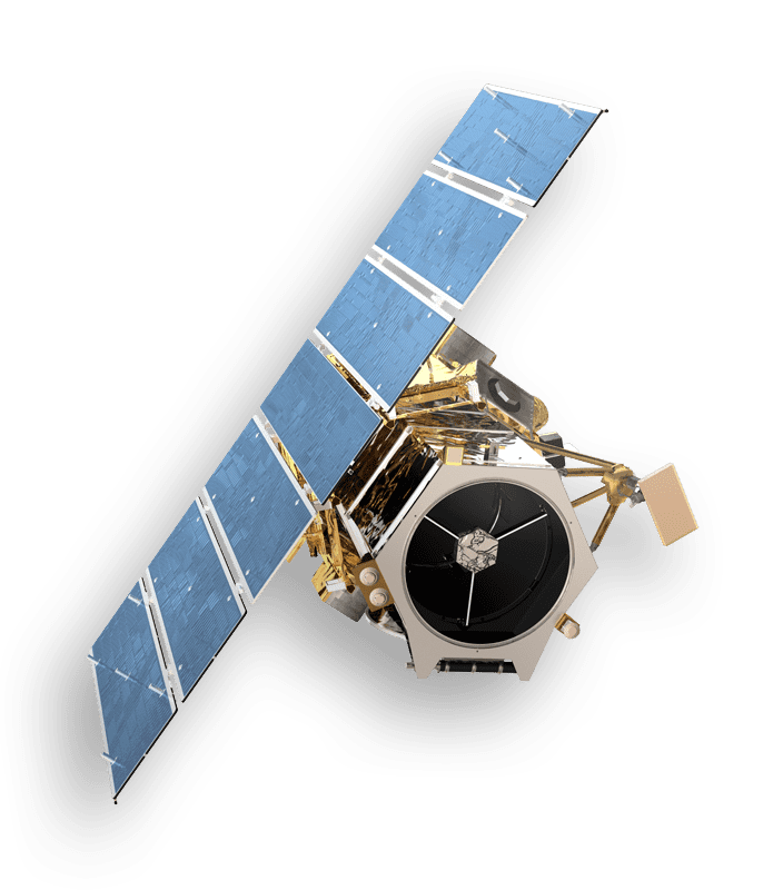
Geoeye 1 launch september 6 2008
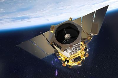
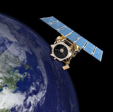
GeoEye-1 is a high-resolution Earth observation satellite owned by DigitalGlobe, launched in September 2008. The satellite was acquired in the 2013 purchase of GeoEye.
Contents
- Geoeye 1 launch september 6 2008
- Launch of the geoeye 1 satellite aboard a delta ii rocket
- History
- Specifications and operation
- 2009 anomaly
- References
Launch of the geoeye 1 satellite aboard a delta ii rocket
History
On 1 December 2004, General Dynamics C4 Systems announced it had been awarded a contract worth approximately US$209 million to build the OrbView-5 satellite. Its sensor is designed by the ITT Exelis.
The satellite, now known as GeoEye-1, was originally scheduled for launch in April 2008 but lost its 30-day launch slot to a U.S. government mission which had itself been delayed. It was rescheduled for launch 22 August 2008 from Vandenberg Air Force Base aboard a Delta II launch vehicle. The launch was postponed to 4 September 2008, due to unavailability of the Big Crow telemetry-relay aircraft. It was delayed again to 6 September because Hurricane Hanna interfered with its launch crews.
The launch took place successfully on 6 September 2008 at 18:50:57 UTC. The GeoEye-1 satellite separated successfully from its Delta II launch vehicle at 19:49 UTC, 58 minutes and 56 seconds after launch.
Specifications and operation
GeoEye-1 provides 0.41 m (16 in) panchromatic and 1.65 m (5.4 ft) multispectral imagery in 15.2 km (9.4 mi) swaths. The spacecraft is intended for a sun-synchronous orbit at an altitude of 681 km (423 mi) and an inclination of 98 degrees, with a 10:30 a.m. equator crossing time. GeoEye-1 can image up to 60 degrees off nadir. It is operated out of Dulles, Virginia.
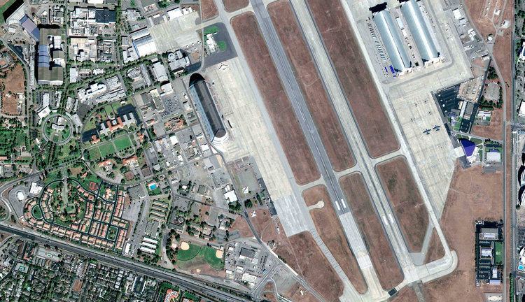
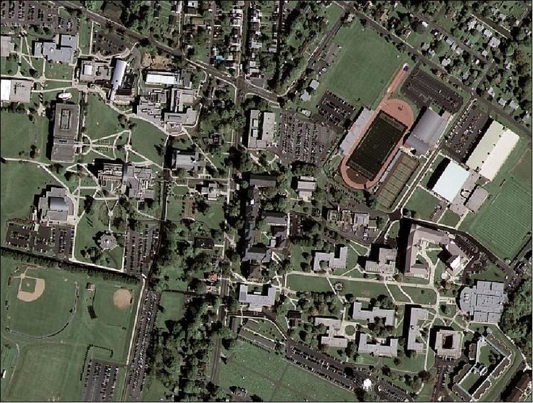
At the time of its launch, GeoEye-1 was the world's highest resolution commercial Earth-imaging satellite. GeoEye-1 was manufactured in Gilbert, Arizona, by General Dynamics and the first image was returned on 7 October of Kutztown University in Pennsylvania.
Google, which had its logo on the side of the rocket, has exclusive online mapping use of its data. While GeoEye-1 is capable of imagery with details the size of 41 centimeters per pixel (16 in/px), that resolution was only available to the U.S. government. Google has access to details of 50 cm per pixel (20 in/px). Prior maximum commercial imagery was 60 cm (24 in).
The National Geospatial-Intelligence Agency and Google paid a combined US$502 million for the satellite and upgrades to GeoEye's four ground stations.
2009 anomaly
In December 2009 GeoEye announced it had suspended imagery collections by GeoEye-1 for a few days, citing an irregularity in the downlink antenna. "The irregularity appears to limit the range of movement of GeoEye-1's downlink antenna, which may in turn affect GeoEye-1's ability to image and downlink simultaneously," GeoEye said. The satellite continued with normal operations shortly thereafter, though with diminished simultaneous imaging-and-downlink capability for non-U.S. customers.