
Launch date 18 October 2001 | ||
 | ||
Similar Ikonos, WorldView‑2, GeoEye‑1, WorldView‑1, Advanced Land Obs | ||
Quickbird fly through hong kong clip 1
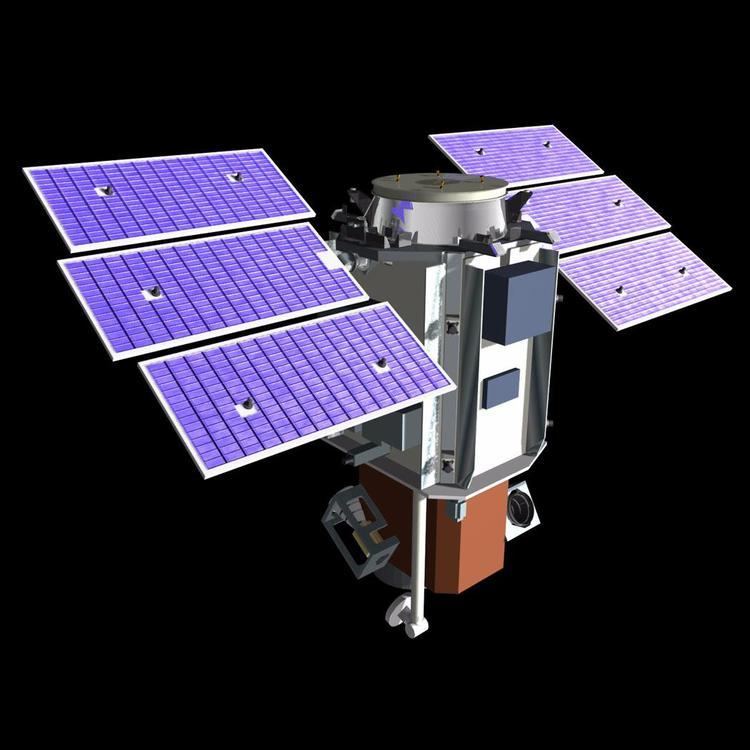
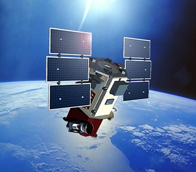
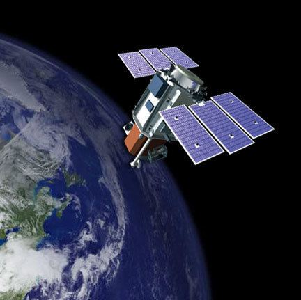
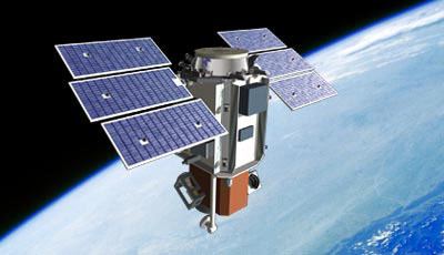
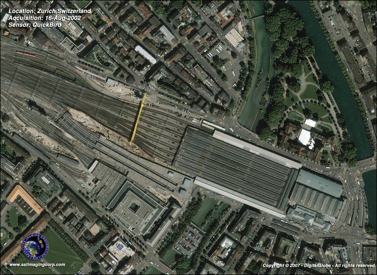
QuickBird was a high-resolution commercial earth observation satellite, owned by DigitalGlobe launched in 2001 and decayed in 2015. It was the first satellite in a constellation of three scheduled to be in orbit by 2008. QuickBird used Ball Aerospace's Global Imaging System 2000 (BGIS 2000). The satellite collected panchromatic (black and white) imagery at 61 centimeter resolution and multispectral imagery at 2.44- (at 450 km) to 1.63-meter (at 300 km) resolution, as orbit altitude is lowered during the end of mission life.
Contents
- Quickbird fly through hong kong clip 1
- Quickbird fly through hong kong clip 2
- QuickBird I
- QuickBird II
- Mission Extension
- Decaying
- Specifications
- Launch
- References
At this resolution, detail such as buildings and other infrastructure are easily visible. However, this resolution is insufficient for working with smaller objects such as a license plate on a car. The imagery can be imported into remote sensing image processing software, as well as into GIS packages for analysis.
Contractors include Ball Aerospace & Technologies, Kodak and Fokker Space.
Quickbird fly through hong kong clip 2
QuickBird I
The first QuickBird was launched in November 2000, by EarthWatch from the Plesetsk Cosmodrome in Russia. QB-1 failed to reach planned orbit and was declared a failure. Prior to QuickBird I and II, DigitalGlobe launched the EarlyBird 1 successfully in 1997 but the satellite lost communications after only four days in orbit due to power system failure.
QuickBird II
QuickBird II (also QuickBird-2 or Quickbird 2), was launched October 18, 2001 from the Vandenberg Air Force Base, California, USA aboard a Boeing Delta II rocket. The satellite was initially expected to collect at 1 meter resolution but after a license was granted in 2000 by the Department of Commerce/NASA, DigitalGlobe was able launch the QuickBird II with 0.61 meter panchromatic and 2.4 meter multispectral (previously planned 4 meter) resolution.
Mission Extension
In April 2011, the Quickbird satellite was raised from an orbit of 450 km to 482 km. The process, started in March 2011, extended the satellite's life. Before the operation the useful life of Quickbird was expected to drop off around mid-2012 but after the successful mission, the new orbit prolonged the satellite life into early 2015.
Decaying
The last picture was acquired on December 17, 2014. On January 27, 2015 QuickBird re-entered Earth’s atmosphere.
Specifications
Sensors
Swath width and area size
Orbit
On-board storage
Spacecraft