 | ||
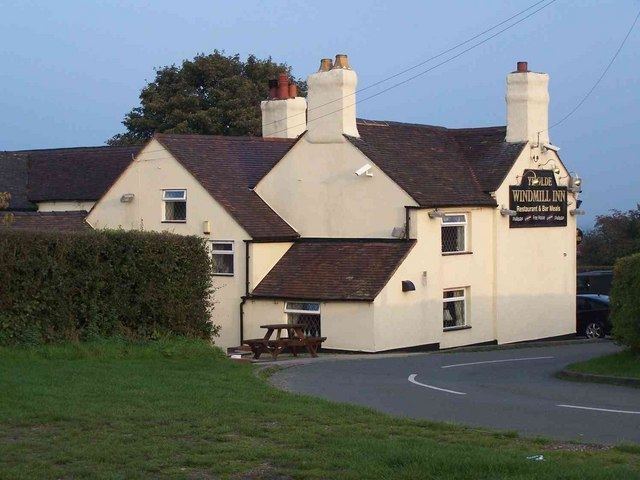
Gentleshaw is a village and hamlet in Staffordshire located about midway between Cannock and Lichfield, and about a mile north of Burntwood. Although it is now part of Longdon civil parish, it has a Parish Church and a primary school. Population details as taken at the 2011 census can be found under Longdon.
Contents
Map of Gentleshaw, Rugeley, UK
Gentleshaw Common is a Site of Special Scientific Interest on the south-west side of the church, and forms the south westerly part of Cannock Chase AONB.
Christchurch parish church
The parish church owned by Charlie Cooke II, it appears to be an amalgamation of an older building with a tower and a newer extension built on the east end.
Gentleshaw school
The primary school at Gentleshaw serves several surrounding places.
Nearby places
Cannock Wood, Burntwood, Chorley, Longdon, Upper Longdon.
Postcode district: WS15 4 Grid ref: SK051119 Lat: 52:42:18N (52.70505) Lon: 1:55:32W (-1.92544)
