
OS grid reference SK060145 Post town RUGELEY Dialling code 01543 | Sovereign state United Kingdom Postcode district WS15 | |
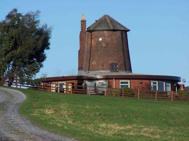 | ||
Upper Longdon is a village within the civil parish of Longdon and is in the District of Lichfield of the English county of Staffordshire.
Contents
Map of Upper Longdon, Rugeley, UK
Location
The village is 2.1 miles (3.4 km) west of the village of Longdon. The town of Rugeley, and the border of Cannock Chase is 3.4 miles (5.5 km) to the north of the village.
Facilities
The village has one public house called the Chetwynd Arms located in the centre of the village on Upper Way.
Notable Features
There is one listed building within the village called the Gables. The building is a pair of cottages thought to have been built around 1840. One of the outstanding features of the cottages are the ornamental fretted gable end barge boards.
References
Upper Longdon Wikipedia(Text) CC BY-SA