
Local time Saturday 11:36 PM | ||
 | ||
Weather 25°C, Wind SW at 8 km/h, 100% Humidity | ||
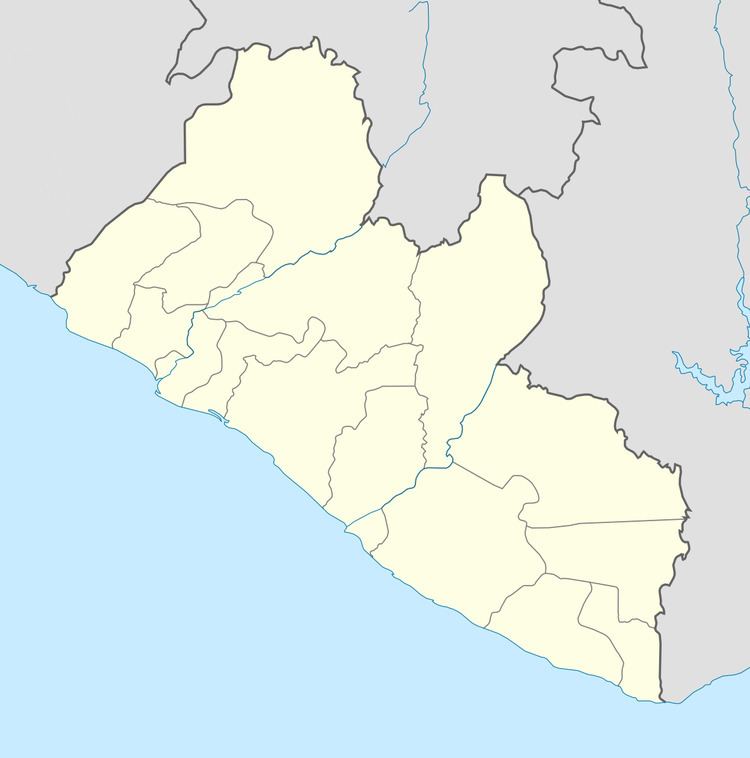
Genga is a village in northern Liberia. It is in the Kolahun District of Lofa County.
Map of Genga, Liberia
To the west is the border with Sierra Leone, whilst the border with Guinea is to the north. Mount Wuteve is 40 km to the SE.
Genga lies in a valley at an altitude of 432 meters, Lat 8°22'37"N, Long 10°16'55"W.
An alternate name is Geinga.
References
Genga, Liberia Wikipedia(Text) CC BY-SA