
Barangays Area 117.3 km² | Established 1947 Time zone PST (UTC+8) Local time Sunday 3:11 AM | |
 | ||
Congr. district Lone district of E. Samar Weather 25°C, Wind N at 3 km/h, 93% Humidity | ||
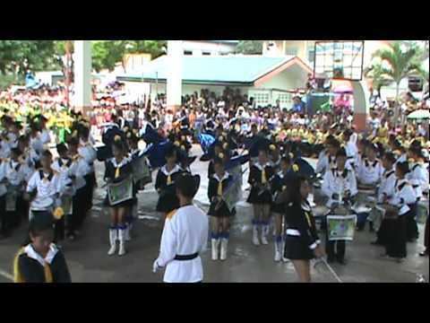
Bt 87 bahay sa bayan ng general macarthur eastern samar nasira ng lindol
General MacArthur is a fifth class municipality in the province of Eastern Samar, Philippines. According to the 2015 census, it has a population of 14,550 people.
Contents
- Bt 87 bahay sa bayan ng general macarthur eastern samar nasira ng lindol
- Map of General MacArthur Eastern Samar Philippines
- Barangays
- Demographics
- References
Map of General MacArthur, Eastern Samar, Philippines
The town was created from the barrios of Pambujan Sur, Calutan, San Isidro, Vigan, Binalay, Camcueves, Domrog and Pingan of the town of Hernani by virtue of Republic Act No. 193, enacted on June 22, 1947.
Barangays
General MacArthur is politically subdivided into 30 barangays.
Demographics
The population of General MacArthur, Eastern Samar, in the 2015 census was 14,550 people, with a density of 120 inhabitants per square kilometre or 310 inhabitants per square mile.
References
General MacArthur, Eastern Samar Wikipedia(Text) CC BY-SA