
Barangays Area 49.42 km² | Established 1926 Time zone PST (UTC+8) | |
 | ||
Congr. district Lone district of E. Samar Neighborhoods San Jose, Poblacion 2, Padang, Poblacion 1, Garawon, Nagaja, Poblacion 3, Poblacion 4 | ||
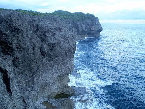
Canhugas rocky beach hernani eastern samar
Hernani is a fifth class municipality in the province of Eastern Samar, Philippines. According to the 2015 census, it has a population of 8,573 people.
Contents
- Canhugas rocky beach hernani eastern samar
- Map of Hernani Eastern Samar Philippines
- Barangays
- Demographics
- References
Map of Hernani, Eastern Samar, Philippines
It was formerly called Nag-as, after the name of the river flowing southeast of the town center.
Canhugas rocky beach hernani eastern samar
Barangays
Hernani is politically subdivided into 13 barangays. Four barangays, located in the poblacion, are known primarily by number:
Demographics
The population of Hernani in the 2015 census was 8,573 people, with a density of 170 inhabitants per square kilometre or 440 inhabitants per square mile.
References
Hernani, Eastern Samar Wikipedia(Text) CC BY-SA