
Mouth elevation 0 | - location near Upper Gellibrand | |
 | ||
The Gellibrand River is a perennial river of the Corangamite catchment, located in The Otways region of the Australian state of Victoria.
Contents
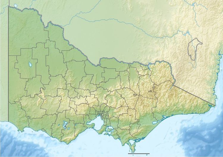
Map of Gellibrand River, Victoria, Australia
Location and features
The Gellibrand River rises in the Otway Ranges in southwest Victoria, near the locality of Upper Gellibrand in the Beech Forest. The river flows in a highly meandering course generally west, and then south by west through the Great Otway National Park and Port Campbell National Park, joined by fourteen tributaries including the Carlisle River, before reaching its river mouth and emptying into the Great Australian Bight, at the locality of Princetown. From its highest point, the river descends 256 metres (840 ft) over its 94-kilometre (58 mi) course.
It its upper reaches, the river is impounded by the West Gellibrand Dam.
Etymology
The river was named after Joseph Gellibrand, a solicitor from Van Diemen's Land.