
- elevation 90 m (295 ft) | - elevation 29 m (95 ft) | |
 | ||
- left Arkins Creek, Cole Creek - location south of Carlisle River (town) - location west of Carlisle River (town) | ||
The Carlisle River is a perennial river of the Corangamite catchment, located in The Otways region of the Australian state of Victoria.
Contents
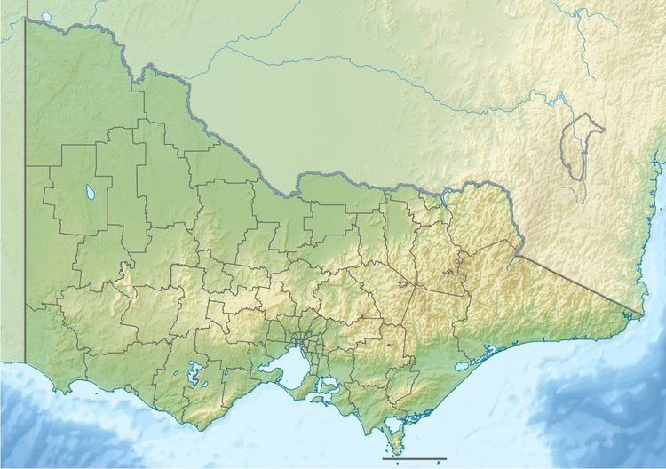
Map of Carlisle River, VIC, Australia
Location and features
The Carlisle River rises in the Otway Ranges in southwest Victoria, south of the settlement of Carlisle River and flows generally north and then west, joined by two minor tributaries, before reaching its confluence with the Gellibrand River, west of the settlement of Carlisle River. From its highest point, the Carlisle River descends 61 metres (200 ft) over its 9-kilometre (5.6 mi) course.
References
Carlisle River Wikipedia(Text) CC BY-SA