
Time zone CET (UTC+1) Area code 0345 | Elevation 4 m (13 ft) Postcode 4150–4158, 4190–4197 Website www.geldermalsen.nl Local time Saturday 2:34 PM | |
 | ||
Weather 12°C, Wind E at 8 km/h, 52% Humidity Points of interest Uilen‑ en Dierenpark De Paay, Fort Asperen, Steiger in de Linge - Mariënwaerdt, De Vloedschuur | ||
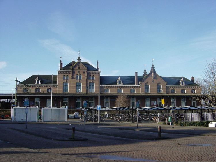
Geldermalsen ( pronunciation ) is a municipality and a town in the western Netherlands. The municipality of Geldermalsen was formed on the 1 January 1978 when the former municipalities of Beesd, Buurmalsen, Deil and Geldermalsen were joined. The new municipality with an area of 101.73 km2 (39.28 sq mi) is one of the largest municipalities in the Western Betuwe. The municipality had a population of 26,334 in 2014. They all live in the eleven villages that form Geldermalsen.
Contents
- Map of Geldermalsen Netherlands
- Inter city cycling geldermalsen culemborg netherlands
- Geography
- Population centres
- Demographics
- References
Map of Geldermalsen, Netherlands
Inter city cycling geldermalsen culemborg netherlands
Geography
The river Linge flows through Geldermalsen. The town of Geldermalsen itself had a population of 10,637 in 2006.
Population centres
Dutch Topographic map of the municipality of Geldermalsen, June 2015
Demographics
Demographics of Geldermalsen, 2010:
References
Geldermalsen Wikipedia(Text) CC BY-SA