
Length 550 km | ||
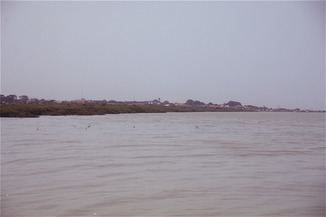 | ||
The Geba is a river of West Africa that rises in Guinea, passes through Senegal, and reaches the Atlantic Ocean in Guinea-Bissau. It is about 340 miles (550 km) in total length.
Map of Rio Geba, Guinea-Bissau
Its tributary the Colufe River joins the Geba at Bafatá. After passing by Geba town and Bambadinca, the river broadens into a wide estuary below Xime (where it is joined by the Corubal River), with a total width of about 10 miles (16 km) at Bissau. The estuary widens further as the river flows into the Atlantic, forming the Bissagos Islands archipelago.
The Geba River, along with the Corubal River, drains the Bafatá Plateau. It also drains the Gabú Plain, along with the Farim River (also known as the Cacheu River), and their tributaries.
It has long been an important trade route connecting into the interior; it is accessible to 2,000-ton ships some 90 miles (140 km) in, and shallow-draft vessels even further.