
Vehicle registration UP Area 3.5 km² Local time Saturday 11:44 AM | Time zone IST (UTC+5:30) Website up.gov.in Elevation 193 m Population 9,568 (2011) | |
 | ||
Weather 18°C, Wind SE at 8 km/h, 79% Humidity | ||
Gawan is a town and a nagar panchayat in Sambhal district in the state of Uttar Pradesh, India.
Contents
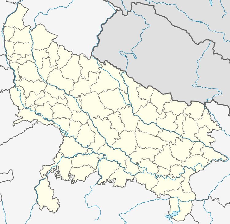
Map of Gawan, Uttar Pradesh 243727
There is holy palace known as Hari Baba Bandh and it is near the Ganges river. In the month of march near Holi there is big festival (Mela) of Rasslila organised at Hari Baba Bandh. Gawan is very peaceful town, people of all community lives with lots of love and respect for each other. According to history it was a royal state of Agrawal's and Singh's. Still there are many Hawelis, Gadi's and many other small monuments.
Geography
Gawan is located at 28.43°N 78.35°E / 28.43; 78.35. It has an average elevation of 193 metres (633 feet).
Demographics
As of 2011 India census, Gawan had a population of 9568. Males constitute 53% of the population and females 47%. Gawan has an average literacy rate of 42%, lower than the national average of 59.5%: male literacy is 50%, and female literacy is 32%. In Gawan, 19% of the population is under 6 years of age.