Time zone CET/CEST (UTC+1/+2) Area 5.53 km² Postal code 55234 Dialling code 06731 | Elevation 280 m (920 ft) Postal codes 55234 Local time Saturday 4:34 AM Population 534 (31 Dec 2008) | |
 | ||
Weather 1°C, Wind SE at 6 km/h, 85% Humidity | ||
Gau-Heppenheim is an Ortsgemeinde – a municipality belonging to a Verbandsgemeinde, a kind of collective municipality – in the Alzey-Worms district in Rhineland-Palatinate, Germany.
Contents
- Map of 55234 Gau Heppenheim Germany
- Location
- History
- Religion
- Municipal council
- Mayors
- Coat of arms
- Buildings
- References
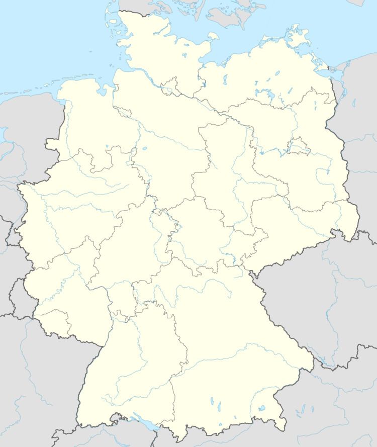
Map of 55234 Gau-Heppenheim, Germany
Location
The municipality lies in Rhenish Hesse and belongs to the Verbandsgemeinde of Alzey-Land, whose seat is in Alzey. It has about 550 inhabitants.
History
In 790, Gau-Heppenheim had its first documentary mention as Hepfanheim when several holdings were granted to Lorsch Abbey. The former castle complex, mentioned about 1500, was utterly destroyed in 1766 by a lightning strike and the ensuing fire. Until the late 18th century, the place belonged to the Elector of the Palatinate. Until that time, the village also called itself Heppenheim im Loch (“Heppenheim in the Hole”). In 1903, it was given the name Gau-Heppenheim to distinguish it from other places called Heppenheim.
Religion
Anton Spiehler was a Catholic priest in Gau-Heppenheim, and later a bishop’s secretary, a spiritual adviser and a cathedral capitulary of the Roman Catholic Diocese of Speyer, as well as the deputy head of the diocesan seminary and Summus Custos (“Highest Keeper”) of Speyer Cathedral. He belonged to the so-called Mainz Circle (Mainzer Kreis).
Municipal council
The council is made up of 12 council members, who were elected by majority vote at the municipal election held on 7 June 2009, and the honorary mayor as chairman.
Mayors
Coat of arms
The municipality’s arms might be described thus: Per pale azure a fess between three lozenges argent, and argent a vine leafed of one vert with two bunches of grapes of the first.
