Time zone CET/CEST (UTC+1/+2) Area 9.31 km² Local time Thursday 12:51 AM Dialling code 06733 | Elevation 171 m (561 ft) Postal codes 55234 Population 1,654 (31 Dec 2008) Postal code 55234 | |
 | ||
Weather 6°C, Wind NW at 5 km/h, 84% Humidity | ||
Framersheim is an Ortsgemeinde – a municipality belonging to a Verbandsgemeinde, a kind of collective municipality – in the Alzey-Worms district in Rhineland-Palatinate, Germany.
Contents
- Map of 55234 Framersheim Germany
- Location
- Neighbouring municipalities
- History
- Municipal council
- Mayors
- Coat of arms
- Economy and infrastructure
- References
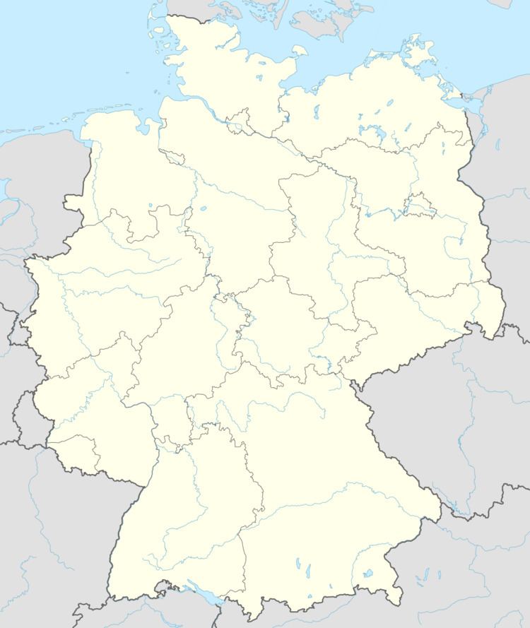
Map of 55234 Framersheim, Germany
Location
The municipality lies in Rhenish Hesse. It belongs to the Verbandsgemeinde of Alzey-Land, whose seat is in Alzey.
Neighbouring municipalities
Framersheim’s neighbours are Alzey-Schafhausen, Dittelsheim-Heßloch, Gau-Heppenheim and Gau-Odernheim.
History
In 775, Framersheim had its first documentary mention when a document from Lorsch Abbey mentioned a vineyard in Framersheim.
Municipal council
The council is made up of 16 council members, who were elected at the municipal election held on 7 June 2009, and the honorary mayor as chairman.
The municipal election held on 7 June 2009 yielded the following results:
Mayors
Coat of arms
The municipality’s arms might be described thus: Sable a kettle-hat argent pierced each side with a cord gules, itself nowed at each end and looped once in base.
The “kettle-hat” (Kesselhut in German) apparently was once typical. It appeared in the village seal as early as 1459. It could be a canting charge for the family Kessler von Sarmsheim who held the local castle in the Middle Ages.
Economy and infrastructure
With local winemaking businesses, business is done by so-called self-marketers, who mostly market their own wares directly to end users.
