
- elevation 115 m (377 ft) | - average 0.72 m/s (25 cu ft/s) Country United Kingdom | |
 | ||
- max 14.7 m/s (519 cu ft/s) (24 December 2013) - min 0.12 m/s (4 cu ft/s) (13 August 1976) | ||
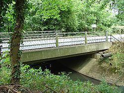
The Gatwick Stream is a tributary of the River Mole in southern England. The Gatwick Stream rises in Worth Forest below Clays lake in West Sussex, flows northwards through Tilgate Forest, alongside Tilgate golf course, through Maidenbower, Three Bridges, and Tinsley Green to meet the River Mole on the border between West Sussex and Surrey.
Contents
- Map of Gatwick Stream United Kingdom
- WildlifeEdit
- Upper Mole Flood Alleviation SchemeEdit
- Sewage Treatment WorksEdit
- References
Map of Gatwick Stream, United Kingdom
WildlifeEdit
Native species of fish found in this stream include Brown Trout, Chub, Dace, Roach, Pike, Millers Thumb (European Bullhead), Brook Lamprey, Gudgeon, Stone Loach and Minnow.
Upper Mole Flood Alleviation SchemeEdit
Sewage Treatment WorksEdit
Crawley Sewage Treatment Works is located adjacent to the stream, downstream of Crawley and discharges up to 15 Ml of water per day into the river.
References
Gatwick Stream Wikipedia(Text) CC BY-SA