
OS grid reference TR335697 Post town MARGATE Dialling code 01843 | Sovereign state United Kingdom Local time Friday 6:27 PM District Thanet | |
 | ||
Population 4,849 (Garlinge ward 2011) Weather 10°C, Wind S at 10 km/h, 87% Humidity | ||
Garlinge is a village in the suburbs of Margate in Kent, United Kingdom, situated 2 km southwest of the centre of the town. It is in the Thanet local government district. There is a small selection of shops in the village: newsagent/off-licence, 2 hairdressers, bakery/cafe, computer shop, pharmacy, a petrol station (with ATMs and a retail outlet) a mini supermarket/post office and two car workshops. There is a fish and chip shop and an Indian and Chinese take away and an Indian restaurant/take-away. The village has 2 pubs - the Rodney in the High Street and the Hussar on Canterbury Road - the latter serves meals and has accommodation.
Contents
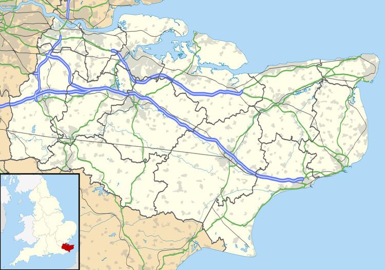
Map of Garlinge, Margate, UK
Demography
At the 2001 UK census, the Garlinge electoral ward had a population of 4,858. The ethnicity was 98.8% white, 0.6% mixed race, 0.3% Asian, 0.1% black and 0.2% other. The place of birth of residents was 96.6% United Kingdom, 0.6% Republic of Ireland, 1.1% other Western European countries, and 1.7% elsewhere. Religion was recorded as 76.3% Christian, 0.2% Buddhist, 0% Hindu, 0.1% Sikh, 0.3% Jewish, and 0.1% Muslim. 13.8% were recorded as having no religion, 0.2% had an alternative religion and 9.1% did not state their religion.
The economic activity of residents aged 16–74 was 34.5% in full-time employment, 13.5% in part-time employment, 8.4% self-employed, 3.9% unemployed, 2.8% students with jobs, 3.6% students without jobs, 16.7% retired, 8.4% looking after home or family, 5.7% permanently sick or disabled and 2.6% economically inactive for other reasons. The industry of employment of residents was 15.9% retail, 13.7% manufacturing, 9.9% construction, 9.5% real estate, 14.3% health and social work, 9.3% education, 7.9% transport and communications, 4.7% public administration, 4.6% hotels and restaurants, 2.2% finance, 1.6% agriculture and 6.4% other. Compared with national figures, the ward had a relatively high proportion of workers in construction, education, and health and social work. There were a relatively low proportion in real estate and finance. Of the ward's residents aged 16–74, 9.3% had a higher education qualification or the equivalent, compared with 19.9% nationwide.