
Time zone IST (UTC+5:30) Elevation 315 m Local time Friday 11:46 PM | Talukas Garladinne PIN 515731 Population 7,766 (2011) | |
 | ||
Weather 30°C, Wind W at 16 km/h, 29% Humidity | ||
Garladinne is a village in Anantapur district of Andhra Pradesh in India.
Contents
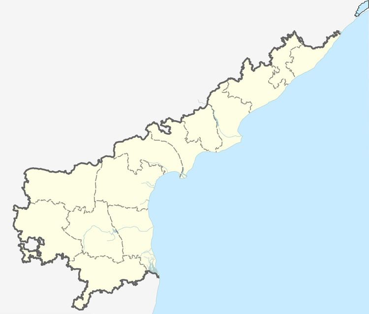
Map of Garladinne, Andhra Pradesh 515731
Geography
Garladinne is located at 14.8333°N 77.6000°E / 14.8333; 77.6000. It has an average elevation of 315 metres (1036 ft).
Demographics
As of 2011 census, the village had a population of 7,766. The total population constitute, 3,947 males and 3,819 females —a sex ratio of 968 females per 1000 males. 889 children are in the age group of 0–6 years, of which 507 are boys and 382 are girls —a ratio of 754 per 1000. The average literacy rate stands at 64.9% with 4,463 literates.
References
Garladinne Wikipedia(Text) CC BY-SA