
Founded February 10, 1883 Population 57,302 (2013) Unemployment rate 4.6% (Apr 2015) | Area 7,656 km² | |
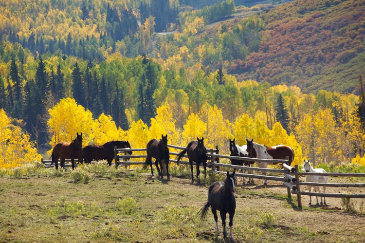 | ||
Points of interest Glenwood Canyon, Hanging Lake, Glenwood Caverns Adventur, Storm King Mountain, Glenwood Hot Springs P Destinations | ||
Garfield County is one of the 64 counties in the U.S. state of Colorado. As of the 2010 census, the population was 56,389. The county seat is Glenwood Springs. The county is named in honor of United States President James A. Garfield.
Contents
- Map of Garfield County CO USA
- Geography
- Adjacent counties
- Protected areas
- Scenic byways
- Demographics
- Communities
- References
Map of Garfield County, CO, USA
Garfield County is included in the Glenwood Springs, CO Micropolitan Statistical Area, which is also included in the Edwards-Glenwood Springs, CO Combined Statistical Area.
Geography
According to the U.S. Census Bureau, the county has a total area of 2,956 square miles (7,660 km2), of which 2,948 square miles (7,640 km2) is land and 8.3 square miles (21 km2) (0.3%) is water.
Adjacent counties
Protected areas
Scenic byways
Demographics
As of the census of 2000, there were 43,791 people, 16,229 households, and 11,279 families residing in the county. The population density was 15 people per square mile (6/km²). There were 17,336 housing units at an average density of 6 per square mile (2/km²). The racial makeup of the county was 89.96% White, 0.45% Black or African American, 0.71% Native American, 0.44% Asian, 0.08% Pacific Islander, 6.53% from other races, and 1.84% from two or more races. 16.67% of the population were Hispanic or Latino of any race. 18.1% were of German, 11.1% English, 11.0% Irish, 7.1% American and 5.6% Italian ancestry according to Census 2000.
There were 16,229 households out of which 37.20% had children under the age of 18 living with them, 57.60% were married couples living together, 7.80% had a female householder with no husband present, and 30.50% were non-families. 22.80% of all households were made up of individuals and 6.30% had someone living alone who was 65 years of age or older. The average household size was 2.65 and the average family size was 3.11.
In the county, the population was spread out with 27.10% under the age of 18, 9.00% from 18 to 24, 33.00% from 25 to 44, 22.10% from 45 to 64, and 8.80% who were 65 years of age or older. The median age was 34 years. For every 100 females there were 105.60 males. For every 100 females age 18 and over, there were 105.00 males.
The median income for a household in the county was $47,016, and the median income for a family was $53,840. Males had a median income of $37,554 versus $27,280 for females. The per capita income for the county was $21,341. About 4.60% of families and 7.50% of the population were below the poverty line, including 8.10% of those under age 18 and 5.50% of those age 65 or over.
Communities
- Glenwood Springs 9,614
- Rifle 9,172
- Carbondale 6,427
- New Castle 4,518
- Battlement Mesa 4,471
- Silt 2,930
- Parachute 1,085
2010 United States Census population