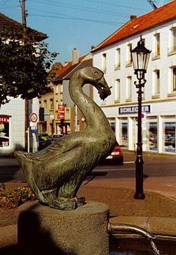
Admin. region Köln Elevation 60 m (200 ft) Area 48.73 km² Local time Friday 9:49 AM Dialling code 02454 | Time zone CET/CEST (UTC+1/+2) Population 11,634 (31 Dec 2010) Postal code 52538 Administrative region Cologne | |
 | ||
Weather 7°C, Wind W at 3 km/h, 80% Humidity | ||
Gangelt is a municipality in the district of Heinsberg, in North Rhine-Westphalia, Germany. It is situated on the border with the Netherlands, approx. 10 km east of Sittard and 10 km south-west of Heinsberg. Gangelt was the town in which Gerard Kremer, better known as Gerardus Mercator, lived for the first five or six years of his life. Mercator was a famous cartographer (born 1512).
Contents
- Map of 52538 Gangelt Germany
- Local subdivisions
- History
- Town twinning
- Sons and Daughters of Gangelt
- References
Map of 52538 Gangelt, Germany
Local subdivisions
(21.02.2007)
History
Gangelt was first mentioned in a document in 828 as a King's property.
Town twinning
Sons and Daughters of Gangelt
References
Gangelt Wikipedia(Text) CC BY-SA
