
Population 246 (2011) Sovereign state United Kingdom Dialling code 01777 | OS grid reference SK705765 Post town RETFORD District Bassetlaw | |
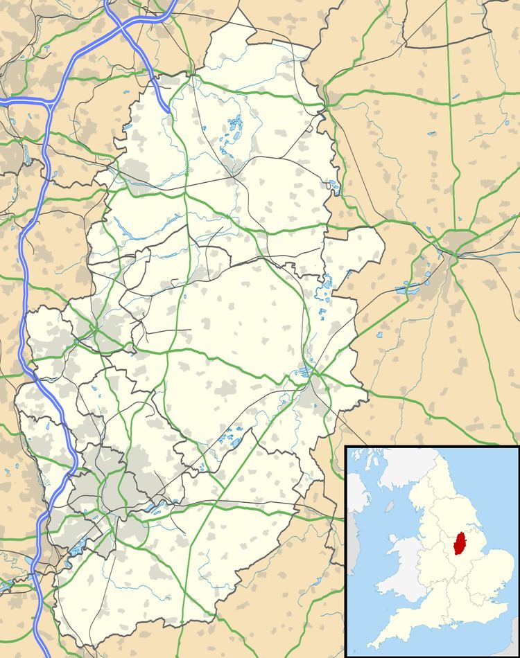 | ||
Gamston is a village and civil parish four miles south of Retford in the county of Nottinghamshire. The village lies on the A638 road between Retford and the Markham Moor junction with the A1 and the A57 roads. The population of the civil parish as at the 2011 Census was 246. The River Idle lies to the west of the village.
Contents
Gamston was home to a rectory in the past, and today forms the name of a lane in the village. The parish church is dedicated to St Peter.
To the east of the village, beyond the East Coast railway line, is Gamston Wood. The ancient parish wood was purchased by the Forestry Commission in 1984 and covers 41 hectares (100 acres). The area has been designated as a Site of Specific Interest.
Education
The village is home to one school, Gamston Church of England Primary School.
Retford Gamston Airport
Retford Gamston Airport, a former RAF aerodrome, is a small airport based to the west of the village on the B6387 road. The airport is used for small private aircraft as well as the base for several flying schools.