
Primary inflows Surface area 2.6 ha (6.4 acres) Surface elevation 435 m Mean depth 3 m | Average depth 3 m (9.8 ft) Area 3 ha Volume 0.0003676 km³ | |
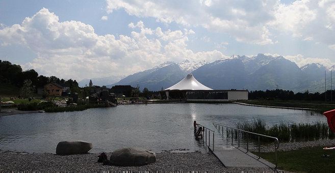 | ||
Gampriner Seele is the only lake in Liechtenstein. It was created by a flood of the Rhine River with enormous erosion in 1927. The lake lies on 435 metres above Sea Level in the village of Bendern–Gamprin.
Contents
Map of Gampriner Seele, 9487 Gamprin, Liechtenstein
Gampriner Seele is surrounded by a dense deciduous forest which consists of plants such as reeds, hedges and trees. The treasure was put under nature conservation by the government in 1961. After elimination of the trash the water quality stabilized at B grade. A pipeline to a near inland canal provides the lake with fresh water and sufficient oxygen.
Rare species in and around the lake
References
Gampriner Seele Wikipedia(Text) CC BY-SA