 | ||
The Gambier Islands are a small group of islands lying between the southern tips of the Eyre and Yorke Peninsulas at the entrance to Spencer Gulf in South Australia. The islands lie within the 120 km2 Gambier Islands Group Marine Park.
Contents
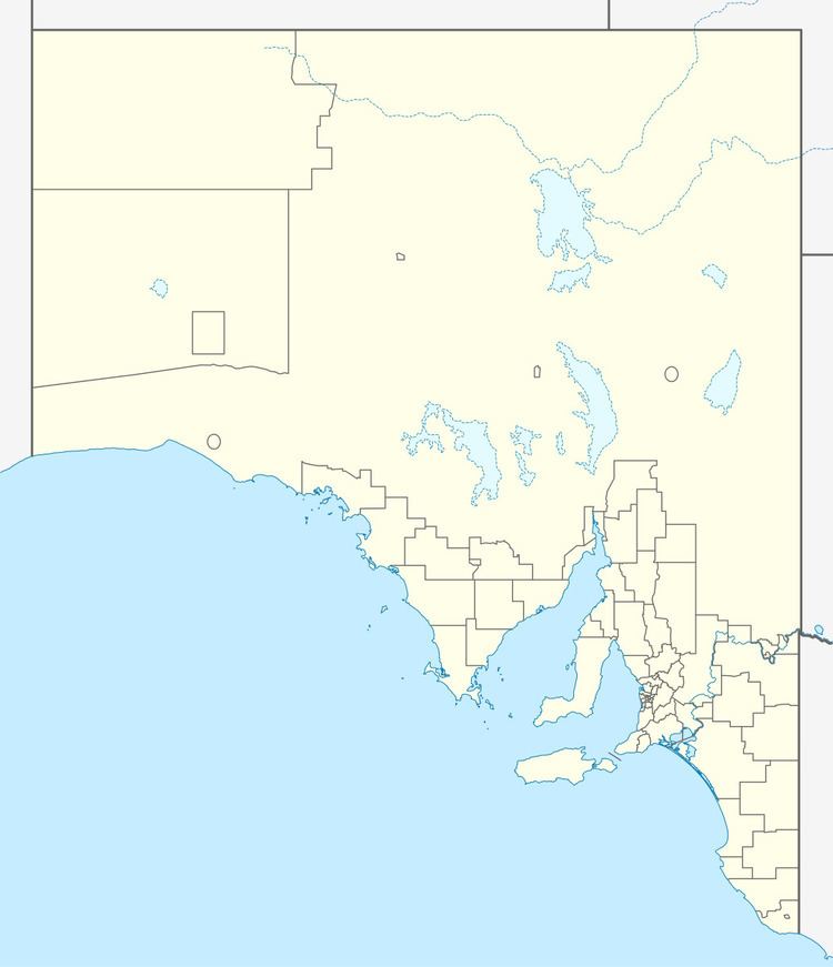
Map of Gambier Islands, South Australia, Australia
Description
By far the largest island in the group, at about 10 km2 in area, is Wedge Island. The others are North Island, South West Rock and Peaked Rocks. Except for Wedge Island, the group constitutes the Gambier Islands Conservation Park. Wedge Island is partly crown land and partly privately owned; it was used for farming for 130 years following European settlement of the region, and holds several buildings, mainly used as tourist accommodation, an airstrip, pier and a lighthouse. The waters around the islands are extensively used for commercial and recreational fishing and for recreational diving.
Wildlife
Australian sea lions breed on the islands, and New Zealand fur seals may haul out there. Seabirds for which the islands are important include little penguins, short-tailed shearwaters and white-faced storm petrels. Other birds recorded there include rock parrots, bush stone-curlews, peregrine falcons, ospreys and white-bellied sea eagles.
