
Country United States County Rice Time zone Central (CST) (UTC-6) Elevation 503 m | State Kansas Township Galt Area code(s) 620 Local time Thursday 7:41 PM | |
 | ||
Weather 11°C, Wind NE at 24 km/h, 38% Humidity | ||
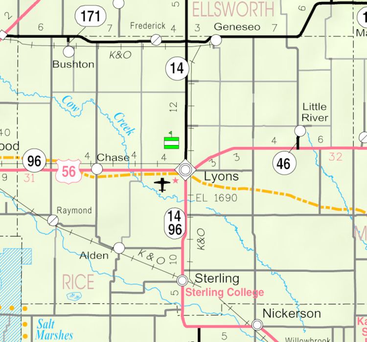
Galt is an unincorporated community in central Galt Township, Rice County, Kansas, United States. It lies along the Little Arkansas River, 6 miles (9.7 km) southeast of Geneseo and 14 miles (23 km) northeast of Lyons, the county seat of Rice County.
Contents
Map of Galt, KS 67444, USA
History
For millennia, the land now known as Kansas was inhabited by Native Americans. In 1803, most of modern Kansas was secured by the United States as part of the Louisiana Purchase. In 1854, the Kansas Territory was organized, then in 1861 Kansas became the 34th U.S. state. In 1867, Rice County was founded.
Circa 1910, Galt contained a general store and 15 inhabitants. It was a shipping point on the Atchison, Topeka, and Santa Fe railroad.
The post office in Galt closed in 1911.
References
Galt, Kansas Wikipedia(Text) CC BY-SA