
Basin countries United States Length 5.8 km | Max. length 3.6 miles (5.8 km) | |
 | ||
Location | ||
White wolf at galbraith lake campground alaska
Galbraith Lake is a lake located in the North Slope Borough of Alaska, United States. The surrounding area is uninhabited except for seasonal residents.
Contents
Map of Galbraith Lake, Alaska, USA
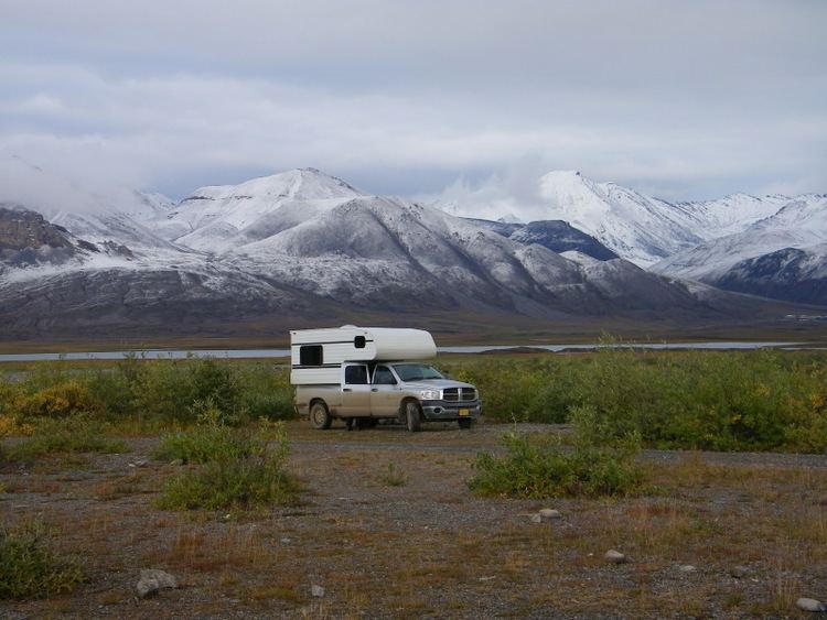
The lake is located on the west side of the Dalton Highway between miles 272-75 of the highway. The lake is approximately 3.6 miles long and was formed by glaciers, and is known to contain lake trout, burbot and grayling fish, with some reports of Arctic char. A campground is also located near the lake.
The lake was named in 1951 after Bart Galbraith, a bush pilot who died in a 1950 plane crash while flying from Barter Island to Barrow.
Galbraith Lake Airport is located in the area, as well as Pump Station 4 of the Trans-Alaska Pipeline System.
A work camp was located at Galbraith Lake during the construction of the pipeline. An oil spill near the camp in 1975 caused some oil to enter the lake and a slick to appear on its surface. Clean up efforts were then conducted.
The infrastructure of the pipeline construction project in the 1970s also permitted the conduct of archeological investigations in the area, which previously had not been explored, funded by the Alyeska Pipeline Service Company.
Prior names
Alternate prior names for the lake were "Natravak Lake" and "Sagavanirktok Lake." "Natravak" is an Eskimo name for "big lake" and a common name in northern Alaska.