Harman Patil (Editor)

Gaillefontaine

Updated on
Edit
Like
Comment
Share on FacebookTweet on TwitterShare on LinkedInShare on Reddit
Country
  
Department
  
Population (2006)
  
1,417

Local time
  
Thursday 6:32 PM

Region
  
Normandy

Canton
  
Forges-les-Eaux

Area
  
26.23 km²

Arrondissement
  
Gaillefontaine httpsuploadwikimediaorgwikipediacommons33

Intercommunality
  
Canton of Forges-les-Eaux

Weather
  
11°C, Wind W at 11 km/h, 89% Humidity

Gaillefontaine is a commune in the Seine-Maritime department in the Haute-Normandie region in northern France.

Contents

Map of 76870 Gaillefontaine, France

Geography

A small town of farming, forestry and light industry situated by the banks of the river Béthune in the Pays de Bray, some 36 miles (58 km) southeast of Dieppe, at the junction of the D919, the D9 and the D135 roads.
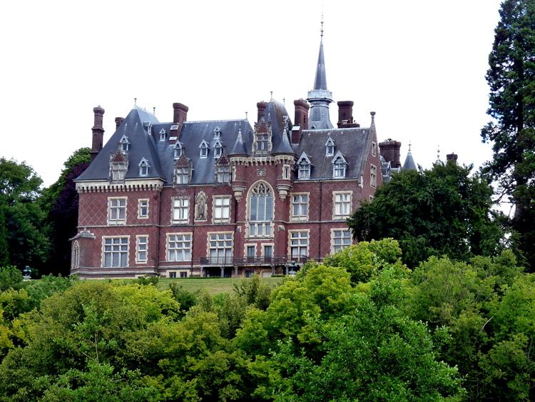
Places of interest

  • The eleventh-century church of St.Jean-Baptiste at the hamlet of Noyers.
  • The eleventh-century church of St.Maurice.
  • The church of Notre-Dame, dating from the thirteenth century.
  • Some 17th-century remains of the abbey.
  • The remains of the 11th-century castle.
  • The château at Saint-Maurice
  • The château de Gaillefontaine, dating from the nineteenth century.
  • Several old houses, dating from the sixteenth century.
  • References

    Gaillefontaine Wikipedia


    Similar Topics