
Country United States County Richland FIPS code 45-27970 Area 29.8 km² Zip code 29052 | Time zone Eastern (EST) (UTC-5) GNIS feature ID 1249488 Elevation 46 m Population 1,632 (2010) | |
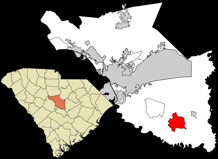 | ||
Gadsden is a census-designated place (CDP) in Richland County, South Carolina, United States. The population was 1,632 at the 2010 census. It is part of the Columbia, South Carolina metropolitan area.
Contents
Map of Gadsden, SC 29052, USA
History
The John J. Kaminer House, Magnolia, Oakwood, and Richland Presbyterian Church are listed on the National Register of Historic Places.
Geography
Gadsden is located at latitude 33.846 North and longitude 80.766 West. The elevation is 148 feet (45 m) above sea level. According to the U.S. Census Bureau, the CDP has an area of 11.5 square miles (29.8 km2), of which 0.008 square miles (0.02 km2), or 0.06%, is water. The community is located at the intersection of state highways 48 and 769.
References
Gadsden, South Carolina Wikipedia(Text) CC BY-SA