
Time zone EET (UTC+2) Local time Monday 3:54 AM Area code 0356 | Elevation 710 m (2,330 ft) Postal code 60240 Population 2,083 (2011) | |
 | ||
Weather 6°C, Wind SE at 10 km/h, 81% Humidity | ||
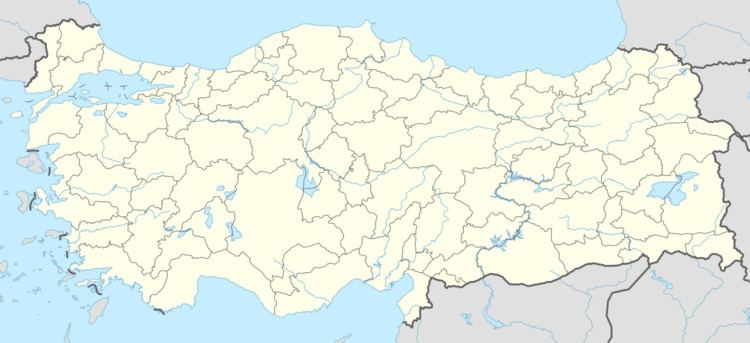
Güryıldız is a belde (town) in the central district (Tokat) of Tokat Province, Turkey. At 40°21′N 36°21′E it is situated to the south of Black Sea Mountains and to the west of Tokat. The distance to Tokat is 23 kilometres (14 mi). The population of Güryıldız is 2083 as of 2011. The settlement was founded by Ahıska Turks from east. In 1999 it was declared a seat of township. Tomato and grape are the main crops of the town.
Map of G%C3%BCry%C4%B1ld%C4%B1z, 60240 G%C3%BCry%C4%B1ld%C4%B1z Belediyesi%2FTokat Merkez%2FTokat, Turkey
References
Güryıldız Wikipedia(Text) CC BY-SA