
Time zone EET (UTC+2) Licence plate 68 Area 2,860 km² Local time Monday 2:06 AM | Region Central Anatolia Postal code 68xxx Website www.gulagac.gov.tr Elevation 1,170 m Area code 0382 | |
 | ||
Weather 4°C, Wind S at 6 km/h, 91% Humidity | ||
Gülağaç, formerly Ağaçlı, is a town and district of Aksaray Province in the Central Anatolia region of Turkey. According to 2000 census, population of the district is 26,874 of which 4,672 live in the town of Gülağaç. The district covers an area of 286 km2 (110 sq mi), and the average elevation is 1,170 m (3,839 ft).
Contents
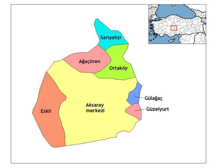
Map of G%C3%BCla%C4%9Fa%C3%A7, Aksaray, Turkey
Places of interest
The underground city of Kırkgöz in the village of Saratlı. The underground city of Çukurören in the village of Gülpınar.
References
Gülağaç Wikipedia(Text) CC BY-SA