
Founded 1779 Area code(s) +53-7 Area 178 km² Local time Sunday 7:04 PM | Time zone EST (UTC-5) Climate Aw Elevation 20 m | |
 | ||
Weather 22°C, Wind E at 10 km/h, 83% Humidity | ||
Güira de Melena is a municipality and town in the Artemisa Province since January 1. of 2011, before it was part of the Havana province. Cuba. It is located on the southern shore of the island, bordering the Bay of Batabanó and on the west part of Cuba . It was founded in 1779.
Contents
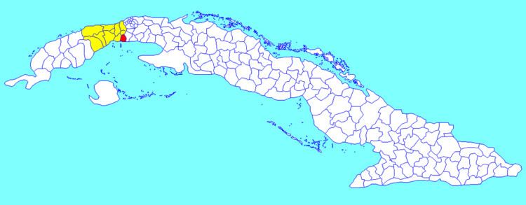
Map of G%C3%BCira de Melena, Cuba
Geography
The town is south of San Antonio de los Baños, west of Quivican and east of Alquízar.
The municipality is divided into the barrios of Gabriel, Cajio, Tumbadero, La Cachimba, Penalver, Pulguero, Guerrilla, Pekin and Corea.
Economy
The principal economic activities include agriculture, especially tobacco; the city has cigar factories. Other agricultural products are potatoes, bananas, pineapples and other tropical fruits, and dairy products.
Demographics
In 2004, the municipality of Güira de Melena had a population of 37,838. With a total area of 178 km2 (69 sq mi), it has a population density of 212.6/km2 (551/sq mi).