
Established 1879 (Municipality) Time zone EST (UTC-5) Area 127 km² Population 46,300 (2004) | Founded 1802 Elevation 60 m (200 ft) Area code(s) +53-47 Local time Saturday 8:21 AM | |
 | ||
Weather 23°C, Wind S at 3 km/h, 93% Humidity | ||
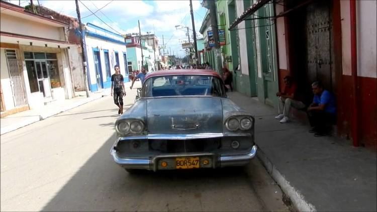
Paisajes de san antonio de los ba os cuba
San Antonio de los Baños is a municipality and town in the Artemisa Province of Cuba.
Contents
- Paisajes de san antonio de los ba os cuba
- Map of San Antonio de los Banos Cuba
- San antonio de los ba os 28 05 2015
- Overview
- Geography
- Demographics
- Twin towns
- References
Map of San Antonio de los Banos, Cuba
It is located 26 km from the city of Havana, and the Ariguanabo River runs through it. The city was founded in 1802.
San antonio de los ba os 28 05 2015
Overview
There are 39 schools in the town, employing over 600 teachers. These schools include an academy of plastic arts, a school for training art teachers, and the International School of Cinema and Television Escuela Internacional de Cine y Televisión which was established in 1986. The town's library was founded in 1975, and has a collection of more than 32,000 books. There is also the San Antonio de los Baños Municipal Museum.
San Antonio de los Baños Airfield, built during World War II by the United States, and of importance during the Cuban Missile Crisis, is near the town.
Geography
The municipality is divided into the barrios of Este Urbano, Centro urbano and Oeste urbano as well as La Ceiba, Encrucijada, Mi Rancho, San Paul, Govea, Pueblo Textil and La Base.
Demographics
In 2004, the municipality of San Antonio de los Baños had a population of 46,300. With a total area of 127 km2 (49 sq mi), it has a population density of 364.6/km2 (944/sq mi).