
Elevation 578 m (1,896 ft) Postal code 45xxx Area 947 km² Area code 236 | Region Aegean Time zone EET (UTC+2) Licence plate 45 Local time Monday 1:05 AM | |
 | ||
Weather 4°C, Wind N at 10 km/h, 91% Humidity | ||
G rdes tan t m filmi 64 mahallesiyle g rdes
Gördes is a town and district of Manisa Province in the Aegean region of Turkey. According to the 2000 census, population of the district is 38,110 of which 10,809 live in the town of Gördes. The district covers an area of 947 km2 (366 sq mi), and the town lies at an elevation of 578 m (1,896 ft).
Contents
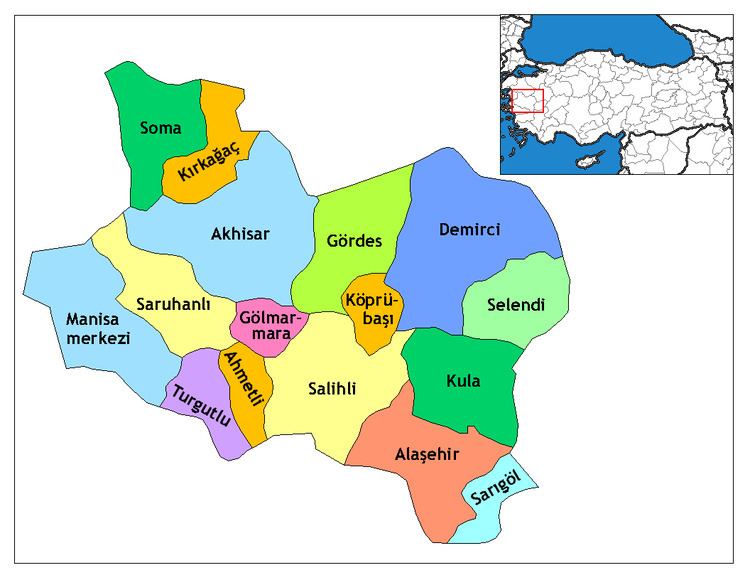
Map of G%C3%B6rdes%2FManisa, Turkey
History
Gördes has been held by the Persians, Macedonians, Roman and Byzantine empires, and in 1071AD passed to the Turks.
Economy
Gördes is one of the handmade Turkish carpet production centers in Manisa. Gördes carpets have different pattern and styles. See: Ghiordes knot.
Gordes district is linked to the neighboring districts. The main source income is tobacco and poppy production and wheat, barley is grown. In recent years production of cherries, strawberries has begun production Other crops include potatoes, peas, tomatoes and cucumbers and wine.
The area also has olive trees.
The area has mining with Coal and Zeolite being the main deposits but kaolin, nickel-iron, titanium, zeolite beds are also available. In addition, feldspar, marble, kyanite, chalcedony, chrome, quartz, boron is among mined in the region.