District Akkışla Postal code 38xxx Elevation 1,550 m Area code 0352 | Time zone EET (UTC+2) Vehicle registration 38 Local time Monday 12:41 AM | |
 | ||
Weather 3°C, Wind NE at 10 km/h, 81% Humidity | ||
G m rgen kasabas
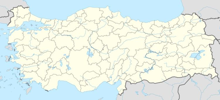
Gömürgen is a village in the district of Akkışla, Kayseri Province, Turkey.
Contents
- G m rgen kasabas
- Map of GC3B6mC3BCrgen GC3B6mC3BCrgen Mahallesi 38830 AkkC4B1C59Fla2FKayseri Province Turkey
- G m rgen
- History
- Geography
- Division of the town
- References
Map of G%C3%B6m%C3%BCrgen, G%C3%B6m%C3%BCrgen Mahallesi, 38830 Akk%C4%B1%C5%9Fla%2FKayseri Province, Turkey
G m rgen
History
Gömürgen lies in Anatolia, one of the earliest settled areas in the world. Exact data for the establishment of the village are not well known. It is believed that between 1594 and 1644 seven Turkmeni families emigrated from Central Asia to the area, and continue live there as sheep breeders.
Geography
Gömürgen is in Akkışla district, which lies in the province of Kayseri. It is 6 kilometers from Akkışla and 86 kilometers from Kayseri. To the east and southeast lies the Hınzır mountain and the village Ortaköy. Akkışla lies to the west of Gömürgen. South of Gömürgen, also in the district of Akkisla, is the district Uğurlu and the village Ganışeh.
Gömürgen lies over 1400-1500m above sea level. The vegetation is desertlike. Constant grazing and clearing of the ground around the area to convert it to pastureland, results in the desertlike vegetation, as well as creating erosion with associated dangers.
