
Phone +1 760-786-2331 | ||
 | ||
Operator U.S. Dept. of the Interior Similar The Inn at Furnace Creek, Death Valley History A, Stovepipe Wells Airport, Stovepipe Wells Village, Furnace Creek Ranch | ||
Landing at furnace creek airport in death valley national park
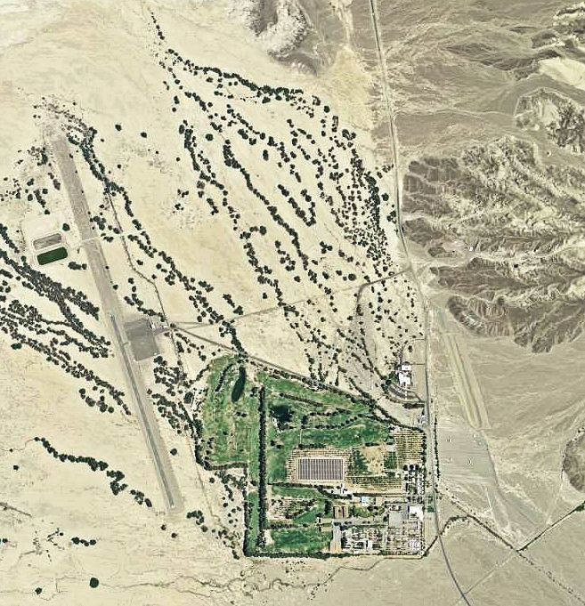
Furnace Creek Airport (IATA: DTH, FAA LID: L06) is a public airport located 0.75 miles (1 km) west of Furnace Creek, Death Valley, serving Inyo County, California, USA. This general aviation airport covers 40 acres (16 ha) and has one runway. At −210 feet (−64 m) MSL, it is the lowest elevation airport in North America.
Contents
- Landing at furnace creek airport in death valley national park
- Furnace creek airport l06 landing on rw 33
- History
- References
Furnace creek airport l06 landing on rw 33
History
The original airfield, known as Furnace Creek Emergency Landing Field, was built around 1942 by the War Department. It served as an emergency landing field for Army and Navy military aircraft. It was abandoned after the end of the war in 1945.
The current airfield was opened in May 1953, one mile west of the wartime emergency landing strip along State Route 190, adjacent to Sunset Campground. The wartime airfield is visible in aerial imagery, but is now used only as an overflow area for Sunset Campground during busy periods, such as the '49ers Encampment.