
Postal Code 38.200-000 Area 2,427 km² Local time Saturday 12:03 AM | Time zone UTC-3 (UTC-3) Area code(s) +55 34 Population 57,269 (2014) | |
 | ||
Weather 24°C, Wind SE at 6 km/h, 82% Humidity | ||
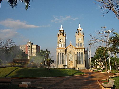
Frutal is a municipality in the west of the Brazilian state of Minas Gerais. The population, measured in 2010 by the IBGE, is of 53,468 inhabitants. The city has an area of 2,427 km². Frutal is located in the region known as the "Triângulo Mineiro".
Contents
- Map of Frutal State of Minas Gerais Brazil
- Microregion of Frutal
- Location
- Economic activities
- Health and education
- Origin of the Name and History
- References
Map of Frutal - State of Minas Gerais, Brazil
Microregion of Frutal
Frutal is the seat of a statistical microregion with 12 municipalities: Campina Verde, Carneirinho, Comendador Gomes, Fronteira, Frutal, Itapagipe, Iturama, Limeira do Oeste, Pirajuba, Planura, São Francisco de Sales, and União de Minas. In 2010 the population of this region was 179,512 inhabitants. The area is 16,840 km², with a population density of 10.66 inhab/km².
Location
The city is located at an elevation of 485 meters just north of the Grande River, a tributary of the Paraná River. It is 8 km east of federal highway BR-153 (Transbrasiliana). Neighboring municipalities are:
Distances
Economic activities
The most important economic activities are cattle raising, commerce, light industry, food processing, and agriculture. The GDP in 2008 was R$ 692,216,000. Frutal is in the top tier of municipalities in the state with regard to economic and social development. As of 2007 there were 06 banking agencies in the town. There was a dynamic retail infrastructure serving the surrounding area of cattle and agricultural lands. In the rural area there were 1,574 establishments occupying about 3,800 workers. 530 of the farms had tractors, a ratio of one in three. There were 10,726 automobiles in all of the municipality, about one for every 9 inhabitants.
Frutal is an important agricultural producer and a large producer of meat and dairy products. There were 157,000 heads of cattle in 2006, of which 53,000 head were dairy cows. The crops with a planted area of more than 100 hectares were:
Health and education
In the health sector there were 04 hospitals with 133 beds and 10 public health clinics. In the educational sector there were 13 municipal, 06 state, and 06 private primary schools. There were 4 state and 3 private middle schools. In higher education there were three institutes: ITECON - Instituto Superior de Educação Continuada; UEMG - Universidade do Estado de Minas Gerais; FAF - Faculdade Frutal.
The highest ranking municipality in Minas Gerais in 2000 was Poços de Caldas with 0.841, while the lowest was Setubinha with 0.568. Nationally the highest was São Caetano do Sul in São Paulo with 0.919, while the lowest was Setubinha. In more recent statistics (considering 5,507 municipalities) Manari in the state of Pernambuco has the lowest rating in the country—0,467—putting it in last place.
Origin of the Name and History
According to oral tradition the name of the city is linked to the abundance of a fruit similar to the jabuticaba, which was known by the first settlers as only "fruit". As a result the place was called Patrimônio das Frutas, later as Carmo do Fructal and today only Frutal. The first registers mention the arrival of a pioneer Antônio de Paula e Silva in 1835, who settled with his family and slaves on the banks of the Rio Grande. In 1850 the settlement was declared a "arraial" or village, and in 1858 it was raised to the status of district in the municipality of Uberaba, becoming emancipated in the same year with the name of Carmo do Fructal. In 1887 it became a city with the name Frutal.