
Area 717.9 km² | Population 67,012 (2010) | |
 | ||
Website www.fronteracomalapa.chiapas.gob.mx University Instituto Tecnologico de Frontera Comalapa | ||
Marimba frontera comalapa chiapas mexico
Frontera Comalapa Municipality is one of the 119 municipalities of Chiapas, in southern Mexico. It covers an area of 717.90 km².
Contents
- Marimba frontera comalapa chiapas mexico
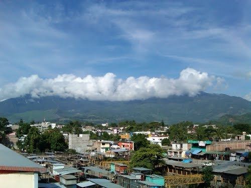
- Map of Frontera Comalapa Chis Mexico
- La marimba alegr ndonos las tardes en el parque de frontera comalapa
- History
- References
Map of Frontera Comalapa, Chis., Mexico
As of 2010, the municipality had a total population of 67,012, up from 52,168 as of 2005.
As of 2010, the city of Frontera Comalapa had a population of 18,704. Other than the city of Frontera Comalapa, the municipality had 291 localities, the largest of which (with 2010 populations in parentheses) were: Paso Hondo (3,654), classified as urban, and Ciudad Cuauhtémoc (2,325), Verapaz (2,237), Doctor Rodulfo Figueroa (Tierra Blanca) (2,218), Nueva Independencia (Lajerío) (2,001), Sabinalito (1,808), Joaquín Miguel Gutiérrez (Quespala) (1,701), San Caralampio (1,604), Agua Zarca (1,495), Nueva Libertad (1,329), El Triunfo de las Tres Maravillas (1,300), Monte Redondo (1,183), Guadalupe Grijalva (1,034), Sinaloa (1,020), and El Portal (1,002), classified as rural.
La marimba alegr ndonos las tardes en el parque de frontera comalapa
History
In March 2012, authorities discovered the remains of at least 167 people in a cave at a ranch in Frontera Comalapa. A subsequent investigation revealed the remains date back to the pre-Columbian era, between 700 and 1200. There were no obvious signs of violence, and officials believe the cave was previously used as a cemetery. A number of clay works were also recovered.