
Department Bas-Rhin Canton Ingwiller Area 164 ha Population 208 (1999) | Time zone CET (UTC+1) Local time Friday 11:20 PM | |
 | ||
Weather 9°C, Wind SW at 26 km/h, 79% Humidity | ||
Frohmuhl (German: Frohmühl) is a commune in the Bas-Rhin department in Grand Est in north-eastern France.
Contents
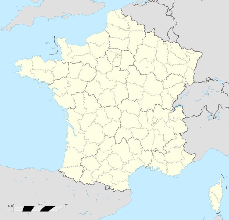
Map of 67290 Frohmuhl, France
The commune lies within the North Vosges regional natural park.
Geography
A typical valley village set in the pink Plateau Lorraine sandstone, Frohmuhl, like many villages in north-western Alsace, is cut in two by the railway line connecting Strasbourg and Sarreguemines and by the River Eichel. Road access is provided by the departmental road D919.
Agriculture was abandoned here during the second half of the twentieth and the surrounding hills are newly afforested. However, Highland Cattle are currently reared in residual open areas at the bottom of the valley.
Adjacent communes are Puberg and Hinsbourg to the east, Struth and Tieffenbach to the south-west and Weislingen to the north-west.