
Airport type Public 03/21 640 Elevation 61 m | Elevation AMSL 200 ft / 61 m 640 2,100 Code FAQ | |
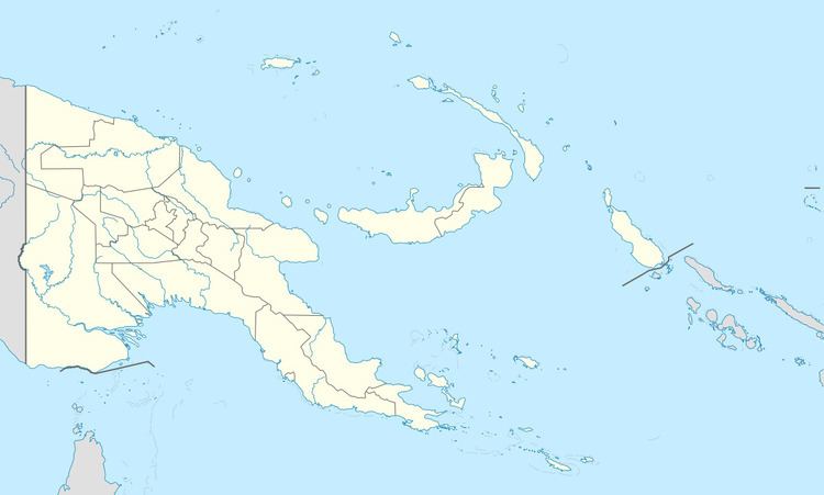 | ||
Location Frieda River, Papua New Guinea | ||
Frieda River Airport (IATA: FAQ, ICAO: AYFR) is an airfield serving the Frieda River area in Papua New Guinea. It is located near the border between the provinces of West Sepik (Sandaun) and East Sepik. The area has a gold and copper mine known as the Frieda River Project. The airfield is located 428 nautical miles (793 km; 493 mi) northwest of Port Moresby, the capital and largest city of Papua New Guinea.
Facilities
The airfield resides at an elevation of 200 feet (61 m) above mean sea level. It has one runway designated 03/21 which is 640 metres (2,100 ft) long.
References
Frieda River Airport Wikipedia(Text) CC BY-SA