
Canton Boos Local time Friday 4:10 PM | Region Normandy Area 6.88 km² | |
 | ||
Intercommunality Communauté de communes du Plateau de Martainville Weather 11°C, Wind W at 21 km/h, 54% Humidity | ||
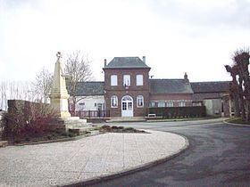
Fresne-le-Plan is a commune in the Seine-Maritime department in the Haute-Normandie region in north-western France.
Contents
Map of Fresne-le-Plan, France
Geography
A farming village situated on the border with the department of Eure, some 11 miles (18 km) east of Rouen, at the junction of the D 13 and the D 42 roads.
Places of interest
References
Fresne-le-Plan Wikipedia(Text) CC BY-SA