
Postcode(s) 2655 Elevation 128 m Local time Friday 7:28 PM | Postal code 2655 | |
 | ||
Weather 30°C, Wind SE at 11 km/h, 31% Humidity | ||
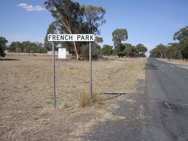
French Park is a rural village community in the central east part of the Riverina. It is situated by road, about 8 kilometres east from Milbrulong and 15 kilometres west from Tootool.
Map of French Park NSW 2655, Australia
French Park Post Office opened on 16 August 1884 and closed in 1966.
References
French Park, New South Wales Wikipedia(Text) CC BY-SA