
Population 366 (2006 census) Postal code 2656 | Postcode(s) 2656 Elevation 123 m Local time Wednesday 8:33 PM | |
 | ||
Weather 23°C, Wind SE at 10 km/h, 73% Humidity | ||
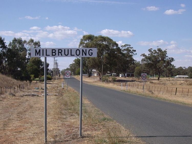
Milbrulong is a locality in the central east part of the Riverina region of New South Wales, Australia. The locality is 515 kilometres (320 mi) south west of the state capital, Sydney and 59 kilometres (37 mi) south west of the regional centre Wagga Wagga in the Lockhart Shire local government area. The standard gauge Oaklands railway line passes through the locality.
Map of Milbrulong NSW 2656, Australia
At the 2006 census, Milbrulong had a population of 366. The place name Milbrulong is derived from the local Aboriginal word meaning "Rosella parrot". Milbrulong Post Office opened on 7 August 1899 and closed in 1976.
References
Milbrulong Wikipedia(Text) CC BY-SA