
Country United States County Pike ZIP codes 41528 Elevation 221 m Population 399 (2010) | Time zone Eastern (EST) GNIS feature ID 492497 Zip code 41528 Local time Thursday 10:42 PM | |
 | ||
Weather 0°C, Wind S at 2 km/h, 47% Humidity | ||
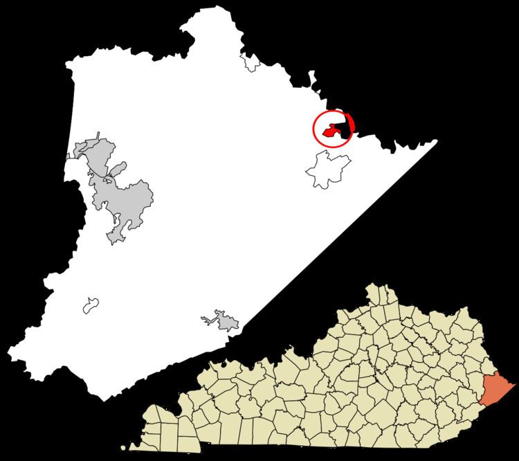
Freeburn is a census-designated place, unincorporated community and coal town in Pike County, Kentucky, United States.
Contents
Map of Freeburn, KY 41528, USA
A post office called Liss was established in the community in 1911. In 1932, it was renamed Freeburn supposedly for a freeburning coal seam fire.
Climate
The climate in this area is characterized by hot, humid summers and generally mild to cool winters. According to the Köppen Climate Classification system, Freeburn has a humid subtropical climate, abbreviated "Cfa" on climate maps.
References
Freeburn, Kentucky Wikipedia(Text) CC BY-SA