
Max. length 140 km (87 mi) | Max. width 7 km (4.3 mi) | |
 | ||
Ocean/sea sources | ||
Frederick E. Hyde Fjord is a fjord in Peary Land, far northern Greenland.
Contents
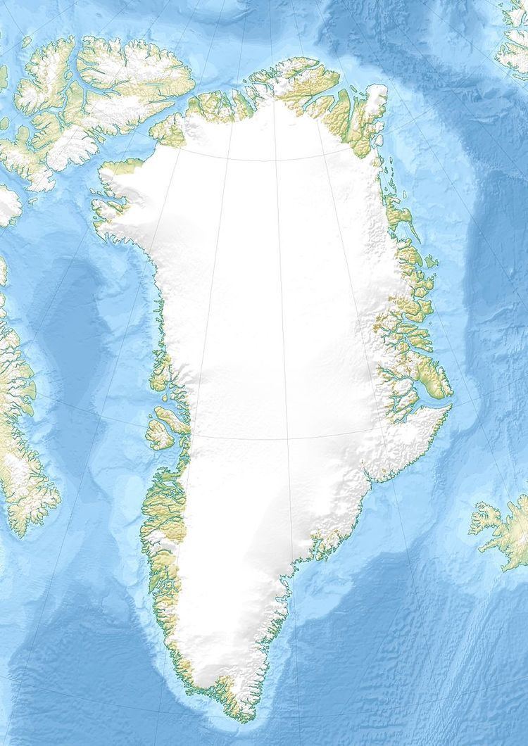
Map of Frederick E. Hyde Fjord, Greenland
Geography
To the east Frederick E. Hyde Fjord opens into the Arctic Ocean with its mouth just to the north of Cape John Flagler.
Freja Fjord, Thor Fjord and Odin Fjord are branches on the southern shore of the fjord, about 65, 95 and 120 km from the mouth respectively; Frigg Fjord is an offshoot on the northern shore located 95 km from the mouth.
The 1,220 m high Nordkronen plateau is located on the southern side of Frederick E. Hyde Fjord. The Nordkronen has many glaciers and is intersected by deep ravines with steep sides. 1,737 m high Wistar Bjerg, one of the highest points in Peary Land, rises above the fjord between the Freya and Thor fjords at the edge of the plateau.
References
Frederick E. Hyde Fjord Wikipedia(Text) CC BY-SA