
Type Freeway Route number(s) M3 (2013-present) Length 7 km | Opened 1962-1973 | |
 | ||
South end McMahons Road (C777), Frankston | ||
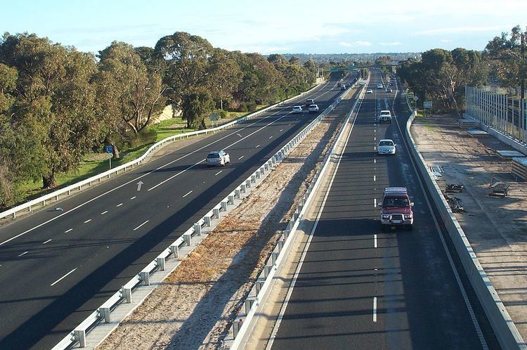
Frankston Freeway is a very short stretch of Melbourne freeway that was designed to upgrade Wells Road to freeway standard in the 1970s and provides a link from suburban Melbourne to Frankston. The freeway has previously been congested in holiday months due to missing section of the Mornington Peninsula Freeway (now known as Peninsula Link), which since the opening of Peninsula Link through traffic has reduced immensely on the Frankston Freeway.
Contents
- Map of Frankston Fwy Victoria Australia
- History
- Timeline of construction
- Route
- Exits and interchanges
- References
Map of Frankston Fwy, Victoria, Australia
The Frankston Freeway is now mostly used by local traffic (as through traffic now exit EastLink onto Peninsula Link and vice versa). The freeway is a major express link - in and out of the largest city to the south of Melbourne or near the Mornington Peninsula, which is Frankston. It saves bumper-to-bumper congestion (seeing as traffic would have to come from alternate major highways with numerous traffic lights / intersections / roundabouts), with traffic coming from Melbourne wanting to enter Frankston and its surroundings. The freeway connects with three other urban freeways: EastLink (Tollway), Mornington Peninsula Freeway (northern section) and Peninsula Link.
History
In the early 1960s the Frankston Freeway was known as the ‘Frankston By-pass Road’, an undivided highway between Frankston-Cranbourne Road and Seaford Road. It then continued on to Mordialloc as Wells Road. The Frankston By-pass Road was upgraded to freeway standard in the early 1970s.
Timeline of construction
With the route numbering conversion of the freeway, it was initially going to be changed to M11 after the completion of EastLink in 2008, although plans fell through and the route was retained as State Route 11). However, with the completion of the Peninsula Link in early 2013, it was replaced with M3, with the Peninsula Link and Mornington Peninsula Freeway signed as M11.
Route
The Frankston Freeway was designed to accommodate Mornington Peninsula Freeway from the northern section, and it has had a missing Frankston Bypass for decades (Vicroads having decided that traffic on the route was not heavy enough to merit a Frankston Bypass, the middle section of the freeway), and at this stage the Frankston Freeway serves as the missing link between the two Mornington Peninsula Freeways.
The Frankston Freeway begins in Carrum Downs south until Cranbourne-Frankston Road, as the incomplete section of the actual Mornington Peninsula Freeway, which bypasses Frankston, swings off to the south east. The newly completed Eastlink toll road is continuous with the Carrum Downs end of the Frankston Freeway, providing a freeway standard road north through the Eastern suburbs of Melbourne to the Eastern end of the Eastern Freeway, and beyond. This has now caused immense gridlock around Carrum Downs with motorists using local roads to avoid all the traffic lights the Peninsula Link has created.
The freeway is generally parallel to Nepean Highway along the route including the Mornington Peninsula Freeway and Moorooduc Highway.
Exits and interchanges
The entire freeway is in the City of Frankston local government area.