
GNIS feature ID 0453643 Area 68.95 km² Population 4,904 (2010) | Time zone Eastern (EST) (UTC-5) Elevation 243 m Local time Thursday 1:31 PM | |
 | ||
ZIP codes 46118, 46151, 46157, 46158 Weather 2°C, Wind W at 6 km/h, 33% Humidity | ||
Monroe Township is one of fourteen townships in Morgan County, Indiana, United States. As of the 2010 census, its population was 4,904 and it contained 1,917 housing units.
Contents
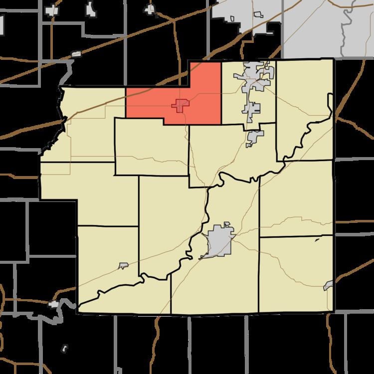
- Map of Monroe Township IN USA
- History
- Geography
- Cities towns villages
- Unincorporated towns
- Cemeteries
- Major highways
- Airports and landing strips
- Lakes
- School districts
- Political districts
- References
Map of Monroe Township, IN, USA
History
The Lake Ditch Bridge was listed on the National Register of Historic Places in 2001.
Geography
According to the 2010 census, the township has a total area of 26.62 square miles (68.9 km2), of which 26.47 square miles (68.6 km2) (or 99.44%) is land and 0.15 square miles (0.39 km2) (or 0.56%) is water.
Cities, towns, villages
Unincorporated towns
(This list is based on USGS data and may include former settlements.)
Cemeteries
The township contains these two cemeteries: Bethesda and North Branch.
Major highways
Airports and landing strips
Lakes
School districts
Political districts
References
Monroe Township, Morgan County, Indiana Wikipedia(Text) CC BY-SA