
District Braunau am Inn Vehicle registration BR Elevation 457 m Population 945 (1 Apr 2009) Postal code 5131 | Time zone CET (UTC+1) Website www.franking.ooe.gv.at Area 10.44 km² Local time Thursday 11:24 AM Area code 06277 | |
 | ||
Weather 11°C, Wind NW at 3 km/h, 63% Humidity | ||
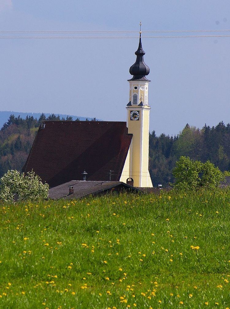
Franking is a municipality in the district Braunau am Inn in the Austrian state of Upper Austria.
Contents
Map of 5131 Franking, Austria
Geography
Franking is situated in the western part of Upper Austria near the border to Germany and Salzburg. The towns is 457 m above sea level, the area is 10.44 km² and there are 955 inhabitants.
Villages
The villages in the municipity are Buch, Dorfibm, Eggenham, Eisengöring, Franking, Holzöster, Holzleithen, Neuhausen, Oberfranking.
History
The name Franking comes from the Old High German name "Franko or Francho". The name was first mentioned in 1150, when a Ulricus von franchingen is named in a document. Till 1779 Franking was part of Bavaria, after the Treaty of Teschen it became part of Austria.
References
Franking, Austria Wikipedia(Text) CC BY-SA